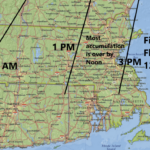
Map: Here’s when the snow is forecast to start Wednesday
“Travel with extreme caution.”
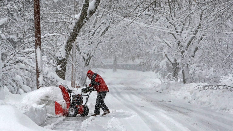
Massachusetts is about to see a lot of snow.
Related Links
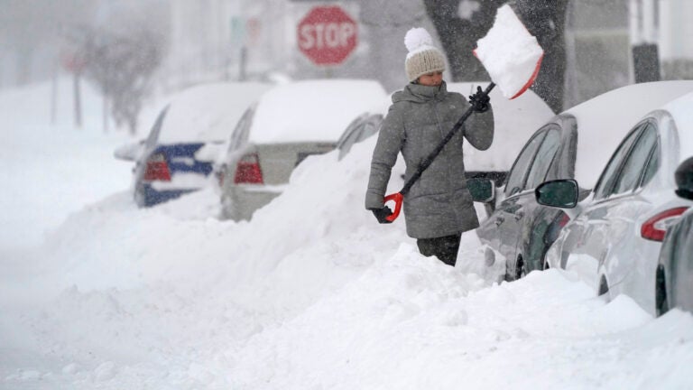
A “significant, multifaceted winter storm” will hit the region Wednesday night, and the National Weather Service is predicting most of the Bay State could see around a foot of accumulation. All of Massachusetts, excluding the islands, is under a Winter Storm Warning, and forecasters are cautioning that travel could become difficult when the nor’easter is at its height.
NEW: Winter Storm Warning for Cape Cod (6-8″ expected) and Winter Weather Advisory for Martha’s Vineyard (2-4″ expected). pic.twitter.com/Gjh0BaURCs
— NWS Boston (@NWSBoston) December 16, 2020
New: High Wind Warning for Block Island, Martha’s Vineyard, & Nantucket for gusts up to 60 mph tonight and Thu AM.
Storm Warnings posted for adjacent coastal waters. pic.twitter.com/SM8206R6HD
— NWS Boston (@NWSBoston) December 16, 2020
The service is urging the public to have storm preparations and any necessary travel completed by Wednesday evening.
“Snow arrives from southwest to northeast during the early evening,” service forecasters said Wednesday. “Road conditions will deteriorate quickly due to snowfall rates 1-2″ per hour – travel with extreme caution.”
Here’s timing of the onset of snow tonight (ignore rain in CT at start – that will be snow).
Key Points:
* Rapidly deteriorating conditions once snow begins
* 1-2″/hr snowfall rates
* Plan to have preparations/travel completed by evening.#CTwx #MAwx #RIwx pic.twitter.com/mdsHiaesAP— NWS Boston (@NWSBoston) December 16, 2020


Get Boston.com's browser alerts:
Enable breaking news notifications straight to your internet browser.


To comment, please create a screen name in your profile
To comment, please verify your email address
Conversation
This discussion has ended. Please join elsewhere on Boston.com