Winter Watch
❄️ Get winter weather alerts and snow maps, delivered to your inbox.
Meteorologists officially declared this storm a “blizzard” in areas of Massachusetts and Rhode Island, including Boston and Providence, as of Monday morning.
So, what does that mean? Is “blizzard” synonymous with “snowstorm”?
Well, not exactly. In fact, active snowfall is not necessarily essential for there to be blizzard conditions, according to local meteorologists.
“What is a blizzard anyway? It’s not necessarily an amount of snow; it’s a visibility warning,” meteorologist Dave Epstein of The Boston Globe and GBH shared in a video explainer Monday morning.
“It’s heavy snow or blowing snow that lowers visibility to 1/4 mile or less for three hours in a row with sustained winds of 35 mph or greater in those three hours,” Epstein continued. “So, for a blizzard to be an official blizzard, you have to meet that criteria. The most likely spots to meet the criteria are going to be along the coastline and some of the higher elevations today, especially east of 495.”
The National Weather Service reported that blizzards can be dangerous due to “whiteout conditions,” drifting snow, and a very low wind chill factor.
“When you have a blizzard warning, you do not want to be traveling because you get whiteout conditions, you get in the way of the plows, and it’s just not safe,” Epstein said.
Whiteout conditions don’t necessarily require active snowfall though, according to the NWS.
“Whiteout conditions occur most often with major storms that produce a drier, more powdery snow,” the service reported. “In this situation, it doesn’t even need to be snowing to produce whiteout conditions, as the snow which is already on the ground is blown around, reducing the visibility to near zero at times.”
Additionally, powerful winds can lead to power outages, extensive tree damage, and very low wind chills. Such low temperatures can also lead to pipes freezing.
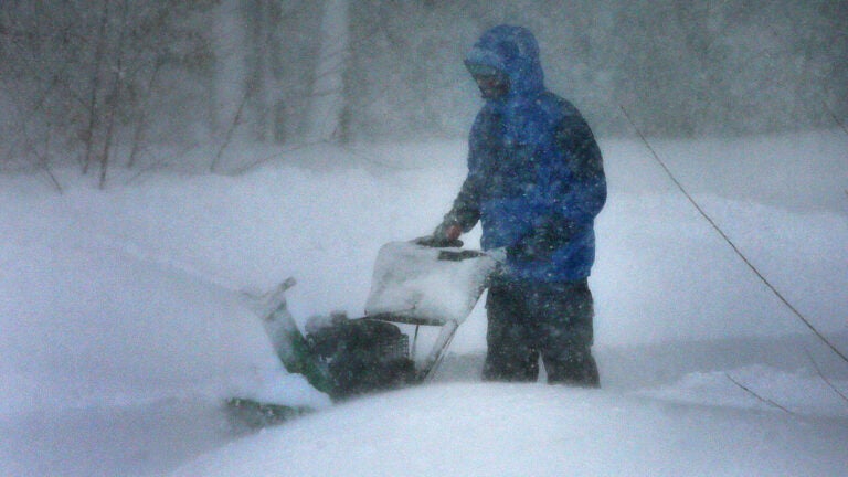
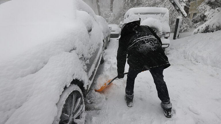
Heavy snow, high wind speeds, and low visibilities impacted communities across the Northeast from Sunday night into Monday.
The Boston/Norton office of the National Weather Service issued a blizzard warning for parts of Massachusetts and Rhode Island early Monday morning.
With wind gusts predicted to go “as high as 75 mph” and significant tree damage anticipated, the NWS reported that such conditions could make travel hazardous.
“Visibilities may drop below 1/4 mile due to falling and blowing snow,” the agency said. “The strong winds and weight of snow on tree limbs may down power lines and could cause sporadic power outages. Whiteout conditions are expected and will make travel treacherous and potentially life-threatening.
“Travel could be very difficult to impossible,” the NWS continued. “Areas of blowing snow could significantly reduce visibility. The hazardous conditions could impact the Monday morning and evening commutes. Very strong winds could cause extensive tree damage.”
The blizzard warning remains in effect until 7 a.m. on Tuesday, according to the NWS.
❄️ Get winter weather alerts and snow maps, delivered to your inbox.


To comment, please create a screen name in your profile
To comment, please verify your email address
Conversation
This discussion has ended. Please join elsewhere on Boston.com