Map: Here’s the timeline of Wednesday’s winter weather
“Anticipate very slippery conditions on untreated surfaces [especially] during the PM commute,” the National Weather Service said.

Related Links
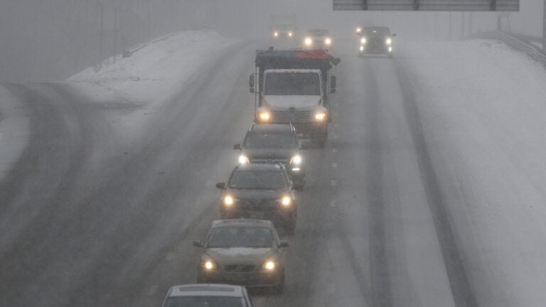
Wednesday’s evening commute is looking treacherous.
“Today is going to be a messy one,” the National Weather Service said on Twitter Wednesday morning. “Most of the region will start out as snow, then once temperatures warm, freezing rain becomes likely across NW RI, CT, and central MA. Anticipate very slippery conditions on untreated surfaces [especially] during the PM commute.”
The service posted an accompanying gif showing when the snow, sleet, freezing rain, and rain will hit certain areas:
[Model Radar Reflectivity] Today is going to be a messy one. Most of the region will start out as snow, then once temperatures warm, freezing rain becomes likely across NW RI, CT, and central MA. Anticipate very slippery conditions on untreated surfaces esp during the PM commute. pic.twitter.com/Tq74CRb5fj
— NWS Boston (@NWSBoston) February 7, 2018
Here’s a look at the service’s latest expected snowfall map, too. We’ve also compiled six maps from local meteorologists.