6 maps predicting how much it’ll snow Wednesday in Massachusetts
“Icing is expected, which will yield very slippery conditions on untreated surfaces especially during the evening commute,” according to the National Weather Service.
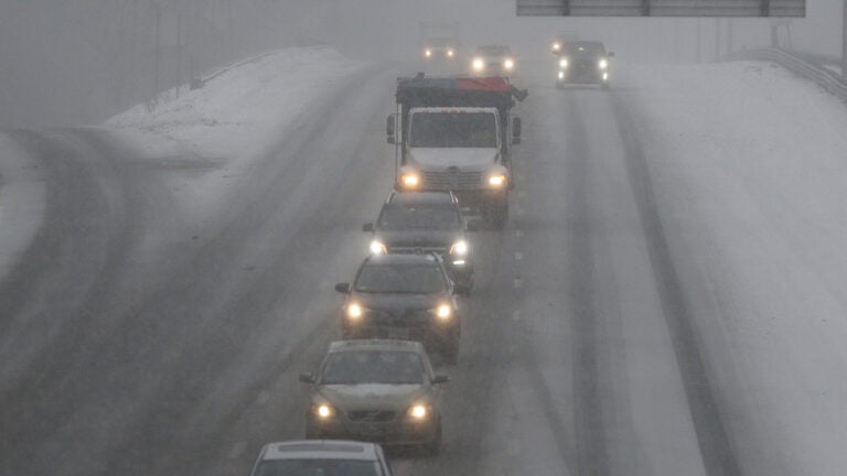
Snow is on the way, especially for those north and west of Boston.
The National Weather Service has issued a Winter Storm Watch for interior Massachusetts, effective through Wednesday evening.
Forecasters say the snow will move into the region between 10 a.m. and noon.
“Afterwards, snow will change to a period of mixed sleet, freezing rain and rain across Connecticut, northern Rhode Island and portions of Central Massachusetts by the afternoon,” the service said on Facebook Wednesday morning. “Icing is expected, which will yield very slippery conditions on untreated surfaces especially during the evening commute. Use caution if traveling today and take it slow.”
Meteorologist David Epstein has a complete look at Wednesday’s forecast, but here are six maps predicting Wednesday’s snowfall in Massachusetts.
National Weather Service

David Epstein

CBS Boston
How much snow? Here ya go…#WBZ pic.twitter.com/kKnYx0BgwT
— Danielle Noyes (Niles) (@danielle_noyes) February 7, 2018
Boston 25
A few things to remember:
1. Heavy burst of snow is expected around lunchtime
2. Snow Boston & south will get washed away late afternoon
3. ICE & glaze expected over the snow north/west of Boston@boston25 #mawx #nhwx pic.twitter.com/BYP7EhxqTx— Shiri Spear (@ShiriSpear) February 7, 2018
WCVB
We’re looking good now…but @Met_CindyFitz says travel could get pretty tricky as we head into late morning. Be careful out there! Check closings & delays: https://t.co/ZsW5sPvIuJ #WCVB pic.twitter.com/hBicngSOvB
— Jenny Barron (@JennyWCVB) February 7, 2018
7News
Wintry mix moving into Massachusetts could bring up to 10 inches of snow https://t.co/Uf5HOYmF7R
— 7News Boston WHDH (@7News) February 7, 2018


