Freezing rain and sleet are possible overnight. A bigger snow event could come next week.
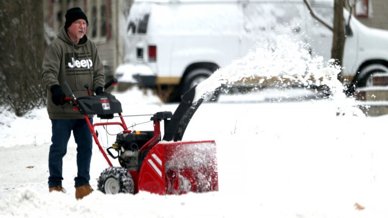
The lack of much cold and snow this season means that when we do see either of those, it tends to be a bigger deal.
Overnight a small area of precipitation will cross the region. It’s likely going to be either freezing rain or sleet. Either way, it’s going to mean road crews have to go back out to treat the roads before dawn on Friday. The good news is that the precipitation will be over a few hours before sunrise.

On Friday, we may briefly get above freezing for a couple of hours. Otherwise, it’s going to be cold and windy, with temperatures falling in the afternoon to be near 20 by dark. This is the beginning of about 24 hours of arctic air.
When you get up Saturday morning, temperatures will be in the single digits and only reaching the low to mid-20s in the afternoon. There could also be a snow shower.
Sunday is a little milder with readings back into the 30s along with a chance of snow showers again.

Monday looks to be cold and dry before clouds roll in in the afternoon, setting the stage for the potential snowstorm Monday night and Tuesday.
There’s always the potential this ends up being nothing, or not an impactful snow event. But I would say this is our strongest likelihood of a more significant snow so far this winter. The details on this will become clearer over the upcoming weekend but it’s one of those stay tuned situations.

Daily Local Weather Forecast
-
Today April 10Partly sunny62° 49°
-
Sat April 11Mostly sunny60° 41°
-
Sun April 12Mostly cloudy52° 46°
-
Mon April 13Showers68° 61°
-
Tue April 14Intermittent clouds72° 53°
-
Wed April 15Cloudy73° 59°
-
Thu April 16Mostly cloudy71° 56°
powered by:


To comment, please create a screen name in your profile
To comment, please verify your email address
Conversation
This discussion has ended. Please join elsewhere on Boston.com