Temperatures are going to warm up — even into the 50s by Friday in some places
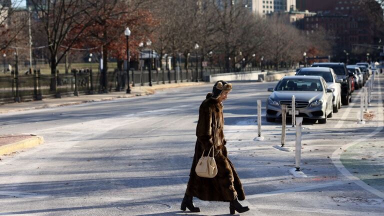
On this Boxing Day temperatures are going to remain below average but not as cold as what we saw on Christmas Eve and Christmas Day.
When I averaged the high temperatures over the weekend the readings came out as 23.5 degrees, which is the seventh coldest Christmas Eve and Christmas Day on record in Boston. It was the coldest since the 1980s. Although we have not seen this kind of Christmas cold in a long time, even in a warming climate we can get these spikes of cold weather.

Temperatures will continue below average for the next couple of days but less so. Getting into the middle of the week and right past the new year, the atmosphere will be headed into a warm mode to start January. The 8 to 14 day outlook gives almost a 100 percent chance that the end of the month in the beginning of next will be warmer than average.

With temperatures so mild any precipitation that falls is going to be in the form of rain, not snow. This isn’t good for winter sports enthusiasts or folks who want to be plowing this time of year for some income.

After a few clouds on Monday night, it’s back to the sunshine for Tuesday through Thursday. Temperatures will slowly be on the upswing, getting into the 40s at the end of the work week. Think near 30 for Monday, above freezing Tuesday, 40 by Wednesday and into the 40s to 50 by Friday. On Saturday clouds will increase as the next weather system pushes up from the Ohio Valley.

With such mild air, the type of possible precipitation is not a question. The only thing to determine now is how much rain we will see and when it will begin and end.
There’s a chance the rain will hold off until early 2023 and that First Night will be mild but dry.
But if the system speeds up, the rain would move in earlier and could spoil some outdoor activities. I will need a few more days of data to better determine the timing of this next system. And once it moves away conditions look quite mild for the first week of January.
Daily Local Weather Forecast
-
Today April 11Mostly sunny58° 40°
-
Sun April 12Mostly cloudy52° 46°
-
Mon April 13Showers65° 58°
-
Tue April 14Intermittent clouds66° 56°
-
Wed April 15Intermittent clouds80° 59°
-
Thu April 16Mostly cloudy71° 52°
-
Fri April 17Intermittent clouds71° 50°
powered by:


To comment, please create a screen name in your profile
To comment, please verify your email address
Conversation
This discussion has ended. Please join elsewhere on Boston.com