This snowstorm will pack a double punch in New England
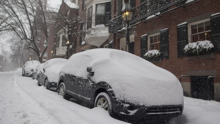
A new winter storm will pack a double punch as it heads into the Boston area on Sunday, starting with a wave of mixed freezing precipitation before a second band of snow with possible coastal blizzard conditions blows in on Monday.
Unlike other storms so far this winter, this one is more complicated. Placement of rain-snow lines, the timing of low-pressure intensification and the exact location of the storm itself could all impact how much snow ends up in the record books Monday evening.
There are a lot of different forecast maps being displayed today. All of us in the meteorological community are grappling with conflicting computer guidance. The American forecasting model continues to insist Boston will see only around 6 inches of snow, while the European model is predicting more than a foot in the city.
It now comes down to old-fashioned experience, nowcasting (watching the weather hour-by-hour) and a bit of intuition.

A storm will move to the coastline overnight and intensify in the ocean Monday.
The first half of the storm gets underway Sunday as the low pressure system moves from land toward the coastline south of New England. As this happens, snow will break out across the area. To make matters more complicated, warmer air off the ocean will be changing the snow to rain along the coast, including in Boston. This will cut down on accumulation from the first part of the storm.
Expect three to six inches of snow west of Boston through Sunday evening. In the city and along the coastline, I expect closer to one to three inches, with two to four inches as you get closer to the immediate western suburbs.
Part two begins early Monday, as the storm intensifies and throws more moisture back into eastern New England. This is the most difficult and least reliable part of the forecast.
If the backlash snow on the western side of the storm is intense, Boston and much of the area will see a lot more heavy snow and totals would exceed a foot. If the area is just brushed by the outer fringes of the storm, there will be much less in the way of accumulation and even my maps, which are on the lower end of the scale, could be too high.

Snowfall will be heaviest in New Hampshire and Maine.
The snowfall map is based on some backlash snow, but not a large amount of it. Historically, backlash snow is quite an anomaly.
Other forecasts are predicting a longer and more intense event Monday morning. During this part of the storm, high winds could cause whiteout conditions. This is why a blizzard watch is posted along the coastline.

Blizzard watches are posted along the immediate coastline
Powerful winds could exceed 60 miles per hour along the coast and reach 50 miles per hour inland on Monday, raising the possibility of toppled trees and power outages.
There will be some coastal flooding, but the northerly direction of the wind during the strongest part of the storm will prevent major coastal damage or flooding.
You can follow Dave Epstein’s forecast on Twitter @growingwisdom