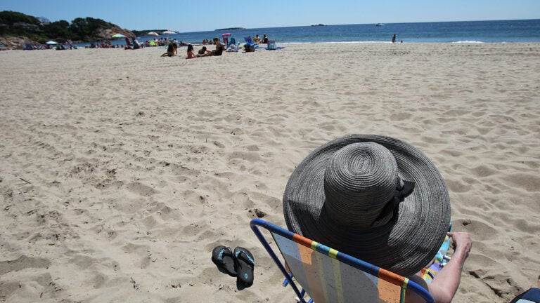
Rejoice: The first real beach day of the season is coming
Warm air will push temperatures near 90 in some areas this week.
I took a Twitter poll recently to determine what constitutes a beach day. As you might expect, there isn’t universal agreement on the criteria, but a majority of people thought it was when temperatures got over 80 degrees.

Thus far, Logan Airport hasn’t recorded a day that warm and, therefore, neither have many of the beaches. This is all going to change dramatically on Wednesday as sunshine and very warm—even hot—temperatures come blasting into southern New England.
Wednesday and Thursday are the two beach-iest days ahead.
On Wednesday, as a westerly wind takes over, temperatures will be forced upward not only over 80 degrees, but approaching 90 degrees. This type of dramatic change will be very noticeable, and our tolerance for the heat will be lower than usual.

Predicted high temperatures for Wednesday.
Since these are the first beach days of the season, a few things to remember: High and low tides occur about every 12 hours. Each high tide is slightly different—a bit higher or lower than the previous one. This is why you sometimes find seaweed has been moved farther up on the beach after an unusually high tide cycle.
Notice on the tide chart below that height of the water at high tide is increasing this weekend. This also means the levels of the water at low tide are decreasing or, put another way, the gap between the two is widening. These numbers are for Boston Harbor. You’ll find similar numbers along the New Hampshire and Maine coastlines. Parts of the South Shore and Cape Cod have a much smaller fluctuation in their tides. Always check your local tide charts for specific times and heights.

High tides through the end of May.
Winds can be a factor on a beach day. The wind Wednesday will make for less than an ideal beach day because they will be gusty. Having sand blown all over you isn’t exactly “a day at the beach.”
Thursday’s temperatures will still exceed 80 degrees in most areas along the shoreline, but a sea breeze will keep Cape Cod in the lower 70s—still a very nice day.

Forecast highs on Thursday.
The strength of the ultraviolet rays from the sun is strongest for the next two months. On these days, you can not only get burned in the middle of the day, but even after 3 p.m., the sun is strong enough to cause skin damage. Don’t forget the sunscreen if you are going to be out in the sun, especially at the beach where the sand and water reflect more of the sun’s rays.
If you want to take a dip in the ocean this week, you might not want to stay in too long. Water temperatures are still mostly in the 50s!

Current ocean water temperatures.
On Friday, a cooler flow from the ocean will keep temperatures under 80 degrees for most of you. Then it’s back to the heat for Saturday, especially inland where a few spots may nudge 90 degrees. Sunday and Monday are much cooler everywhere as marine air from the north takes over. Highs those days will remain in the 60s at the beaches and 70s inland.
There could be a few scattered showers during these transitions from warm to cooler air and back again, but there’s a widespread rain in our future.
I’ll be updating the forecast here and on Twitter @growingwisdom. Please follow me there.


To comment, please create a screen name in your profile
To comment, please verify your email address
Conversation
This discussion has ended. Please join elsewhere on Boston.com