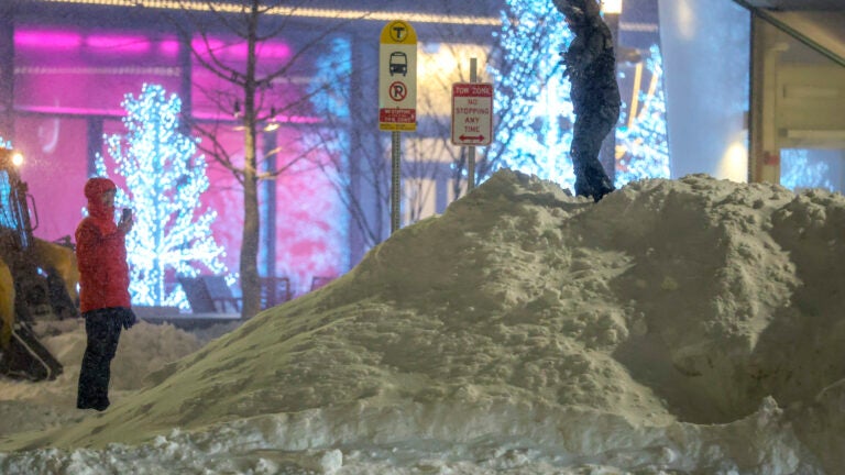
We've added another 2-3" of snow this evening. This is still part of the storm from last night so totals in many area are now over 2-feet for the storm. Ipswich seems to be the leader so far at 26" pic.twitter.com/LkD8m9pAjf
A quick burst of light snow is moving thru this afternoon and evening. There may be a bit of enhancement at the coast to add to the already impressive snow totals. pic.twitter.com/bvuZCIONP5
The next chance for us to hit the freezing mark is around Groundhog Day (next Monday). So we got that going for us. Which is nice. #wbzpic.twitter.com/Z0WxTnsgiz
Jeremy Reiner, 7News: ‘Snow showers for the day with an additional 3-6″ of snow expected by late this evening’
Snow showers for the day with an additional 3-6" of snow expected by late this evening. Chilly with highs in the 20s. Sunshine but cold tomorrow. #7newspic.twitter.com/vrUTlvoe57
Cindy Fitzgibbon, WCVB: ‘Ocean effect snow showers this morning with steadier light snow filling in this afternoon-evening’
Good Monday morning! Our storm is pulling away but we're not done just yet as light snow lingers today. Ocean effect snow showers this morning with steadier light snow filling in this afternoon-evening. Additional 2-4" for most before it tapers off tonight. Forecast on #WCVBpic.twitter.com/ak797UgqHP
From 1am until Monday afternoon here is how much additional snow to expect. Some ocean effect snow is possible along the north shore overnight but generally 2-4" is possible across the region Monday. It will fall from mid morning thru the afternoon. pic.twitter.com/L1z2EWoqtE


To comment, please create a screen name in your profile
To comment, please verify your email address
Conversation
This discussion has ended. Please join elsewhere on Boston.com