Extra News Alerts
Get breaking updates as they happen.
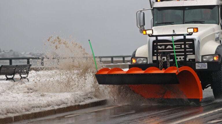
Heads up: the evening commute may be difficult north of I-90, especially near and north of Route 2. Snow changes to rain south of I-90, with mainly snow north of Route 2. As mid-level centers close off, 1–2"/hr snowfall rates are possible during the PM commute #MAwx pic.twitter.com/3YJpPzDriV
— NWS Boston (@NWSBoston) December 2, 2025
Update: 12/2 445AM
— NWS Boston (@NWSBoston) December 2, 2025
❄️A few snow showers around early this AM. Main batch of snow arrives in interior 7-10AM.
⚠️Hazardous travel expected for higher elevations of interior MA. Take caution if traveling.
❓Some uncertainty remains in amounts for I95 corridor. #MAwx #RIwx #CTwx pic.twitter.com/4crD2gJFtJ

Plowable snow on the way for some, cold rain for others. pic.twitter.com/oalYgYkIq0
— Chris Lambert (@clamberton7) December 2, 2025
Rain and snow filling in this morning. pic.twitter.com/zdz5S0HisD
— Chris Lambert (@clamberton7) December 2, 2025
Heavy snow through the afternoon northwest of 495, cold rain inside it. pic.twitter.com/YzLf5OcZBo
— Chris Lambert (@clamberton7) December 2, 2025
Rain/snow line drops a bit southeast this evening as a couple hours of snow possible after a day of cold rain for MetroWest. pic.twitter.com/MUR4wuyCLe
— Chris Lambert (@clamberton7) December 2, 2025
Winds in check through the day. Picks up this evening. pic.twitter.com/WXgbcerZyr
— Chris Lambert (@clamberton7) December 2, 2025
Gusty winds develop tonight. pic.twitter.com/pkM1U7wxQF
— Chris Lambert (@clamberton7) December 2, 2025
Coldest air of the season so far heading in Friday. pic.twitter.com/0Q6P5kbjvj
— Chris Lambert (@clamberton7) December 2, 2025
Today’s weather headlines:
— Kelly Ann Cicalese (@kellyannwx) December 2, 2025
⚠️ Messy mix today, with heavy/wet snow northwest and rain/slush elsewhere.
❄️ A few snow showers Thursday.
🥶 Bitter cold Friday.
Full forecast can be found at https://t.co/QrXAtsIwhX #wcvb pic.twitter.com/urUBzG3fzz
Here's a breakdown of the timeline for today's wintry mix. The heart of the storm arrives this afternoon and early evening. #wcvb pic.twitter.com/o9Y0ZYaeg9
— Kelly Ann Cicalese (@kellyannwx) December 2, 2025
Good Tuesday morning! The storm is still to our west, so travel early this morning is fine. Snow/rain arrives 8-10 AM, turning heavy in the afternoon.
— Kelly Ann Cicalese (@kellyannwx) December 2, 2025
This will wrap-up around midnight tonight. #wcvb pic.twitter.com/tKTyl6wCDX
Here's my latest thinking on snow for Tuesday-wee hours Weds. Mostly rain in green. Could see some snow bands on back side of storm overnight Tuesday, so be aware of this in areas with mainly rain. Not surprised to see slick Weds AM travel as temps under 32F to start. pic.twitter.com/uO85xhCDk1
— Dave Epstein (@growingwisdom) December 1, 2025
A few snow grains coming through along the 495 belt. pic.twitter.com/G4uA43VuVt
— Dave Epstein (@growingwisdom) December 2, 2025
Heavy rain at the coast and heavy snow inland… Check out the latest details here & be patient on the roads this afternoon/evening. @boston25 #mawx #nhwx #newengland pic.twitter.com/GlnO6iaugh
— Shiri Spear (@ShiriSpear) December 2, 2025
What we're talking about at 11p –
— Eric Fisher (@ericfisher) December 2, 2025
Snowy interior/high elevations tomorrow, cold rain east
Snow accumulation closer to Boston would be at the *end* later tomorrow evening and relatively minor, but slick roads. #wbz pic.twitter.com/iVB6fGprKe
Hard to overcome the low level "warmth" during the storm tomorrow. We've seen this many times in the past couple of years. Higher terrain across SNE gets the most snow. Event starts 8-10a & ends 11p-1a tom. night. Gusty winds on Cape. pic.twitter.com/cpMorhWd5F
— Pete Bouchard (@PeteNBCBoston) December 1, 2025
SHARP RAIN/SNOW LINE TO SET UP IN EASTERN MA!
— 1DegreeOutside (@1DegreeOutside) December 2, 2025
Morning all! Snow & rain fills in late AM to midday for many (bit earlier in central/northern New England) with a very sharp rain/snow line likely somewhere right around 495.
The latest timeline + totals & impact:… pic.twitter.com/SwQlGHhYzO
6:45AM: A narrow band of snow (mixed with rain in RI) has developed along a weak wind shift boundary over the last hour. This small band of snow has been coating the ground along its path & is running ahead of the main snow shield. Towns/times of arrival in this radar image. pic.twitter.com/HqbjtkQDnD
— 1DegreeOutside (@1DegreeOutside) December 2, 2025
Get breaking updates as they happen.
Stay up to date with everything Boston. Receive the latest news and breaking updates, straight from our newsroom to your inbox.
To comment, please create a screen name in your profile
To comment, please verify your email address
Conversation
This discussion has ended. Please join elsewhere on Boston.com