Winter Watch
❄️ Get winter weather alerts and snow maps, delivered to your inbox.
This year, school vacation week came in like a lion, but it’s going to go out like a lamb. After a storm system passes to our south Thursday and early Friday, our recent active weather pattern will take a bit of a break along with a backing off of the deep cold as temperatures return to more typical late February levels.
Most years, the temperatures for the final week of February would range from the mid-30s to low 40s — in other words, melting temperatures. This weekend, we’re going to end up with afternoon readings just above freezing on Friday and adding about 3 or 4 degrees each day amid sunny skies, so by the time we get to Sunday, much of New England will be approaching 40 in the afternoon.
One small issue that arises this time of the year with all of the melting is that the water refreezes at night. With snow still on the ground, you’ll notice certain intersections, parts of your driveway or walkway having little icy patches on them in the morning.
This weekend also marks a rapid approach toward 11 hours of daylight. Illustrating this, on Sunday civil twilight, the 30 minutes or so before the sun comes up, will begin at 6 a.m. It’s an opportunity to get outside and have a run or get in a dog walk early on. Remember, for those of you who are morning people, we’re going to go back an hour with 7 a.m. sunrises returning on Sunday, March 9, with the start of daylight saving time again, but they will quickly get back to 6:30 a.m. by the end of the month.
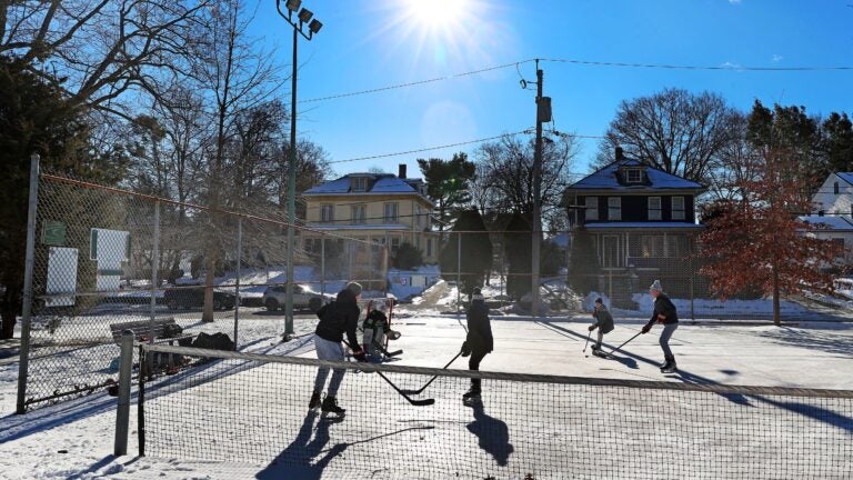
Sunrise readings Saturday and Sunday are within a few degrees of 20 and by 10 or 11 a.m., melting should be underway. Winds will not be a factor this weekend, making for ideal outdoor conditions for winter activities.
Early next week, another weather system approaches, but it’s likely going to be too warm for much more than just straight rain here in Southern New England and perhaps a little bit of snow across ski country.
powered by:
Greater Boston: Sunshine will be the dominant weather feature Friday through Sunday. It will be a bit breezy Friday with light winds this weekend. Mornings start near 20, afternoons are in the 30s to near 40 by Sunday.
Western/Central Mass.: Saturday will bring partly to mostly sunny skies across Central and Western Mass. with Worcester to Springfield building to the mid-30s while the Berkshires stall in the upper 20s. Sunday will likely see increasing clouds as everyone will see a temperature boost to the low to mid-30s. Winds should stay below 10 mph for both days.
Cape and Islands: It will be brisk on Friday but dry weather is in the forecast this weekend with highs in the 30s to near 40.
Rhode Island: Dry weather all weekend with highs in the 30s to near 40 on Sunday.
New Hampshire: It is a great weekend for skiing with lower wind chills Friday in the single digits, but highs in the 20s. Temps rise above freezing by Sunday.
Vermont: A few snow showers with cold air for Friday. Highs will be in the teens. It will be dry with clouds and sun this weekend and highs in the 20s.
Maine: It will be dry this weekend with highs in the 20s Friday and low to mid-30s Saturday into Sunday. Winds will be lighter this weekend.
❄️ Get winter weather alerts and snow maps, delivered to your inbox.


To comment, please create a screen name in your profile
To comment, please verify your email address
Conversation
This discussion has ended. Please join elsewhere on Boston.com