

Winter Watch
❄️ Get winter weather alerts and snow maps, delivered to your inbox.
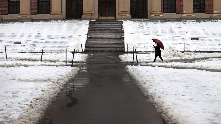
The active weather pattern we’ve been in the past couple of weeks continues this weekend with another storm system poised to impact New England.
If you’re traveling out of town today or the first half of Saturday, there won’t be any problems. As we get closer to Saturday evening, though, snow is going to arrive and the roads will become slippery and travel will be slowed. There could be some delays at Logan Airport Saturday night into early Sunday morning, but this won’t be a major snowstorm. Nevertheless, anytime you get several inches of snow, things get impacted as we all know.
Before the storm arrives, we have to first deal with the wind and cold. A wind advisory has been issued for most of Massachusetts as well as New Hampshire and northern Rhode Island today. If you are headed for some skiing to take advantage of the snow, be aware there could be some lift holds.
Otherwise, today will be mostly sunny with highs in the low 30s. The evening will be cloudy with temperatures slipping into the teens.
Saturday starts bitter cold with temperatures near zero in Northern New England and around 10 to 15 degrees in the south. Skies will go from mainly sunny to cloudy during the day and the snow will arrive in the afternoon or evening. The snow will overspread the area from the southwest toward the northeast. Folks in Northern New England should remain dry through the daylight hours.
The center of low pressure is going to be to our west as this storm begins. However, a secondary low will form somewhere near the coastline and merge with the primary low over Northern New England later Sunday. This will result in first warm air surging north and changing the precipitation to a wintry mix or even rain. As the second storm takes over, it will shut down the advection of warm air. This is one of the reasons why Northern New England is going to end up with primarily snow or a wintry mix.
Here in Southern New England, the warm air is going to move in enough that I think we’re going to see a change to rain on Sunday.
Since the precipitation will be coming down steady Saturday night and into Sunday morning the exact timing of the change-over will determine just how much snow we get in the Boston area and across the region.
But right now, I believe we’re looking at 2 to 5 inches from I-495 east. Less snow is expected over the Cape and the islands. As you head north of Route 2, you’ll start surpassing 4 inches and then once into Northern New England, it’s going to be 6 inches to a foot of snow away from the coastline.
On Sunday, the wet weather continues across Southern New England in the form of rain. This is likely to taper off in the afternoon. For Northern New England it should be snowing most of the day with a change to a mixed bag right along the coastline.
Some winter storms bring power outages and coastal flooding. Neither of these will be a factor during this weekend storm, although since the snow will become heavier and wetter Sunday morning, there could be some scattered power outages if accumulations reach over 4 or 5 inches.
It won’t be very windy during the storm. As a matter of fact, it’s going to be windier on Friday and again on Monday than it will be during the precipitation event.
Behind this weather system, it gets cold for Monday, Presidents’ Day and Tuesday, but it is dry. Temperatures will only be in the low to mid-20s in Southern New England with single digits in teens for the ski areas.
Snowfall totals so far this year are off by about 6 to 10 inches across most of the area and it looks like we’ll make up a little more of this as we head into February vacation week. All in all, as expected it’s been a very different winter compared to the past two.
Greater Boston: The sky becomes cloudy on Saturday with snow arriving Saturday evening and changing to rain for Sunday.
Central and Western Mass.: Look for temperatures to be cold enough for snow Saturday night with a wintry mix developing on Sunday, perhaps changing to all rain.
Cape and Islands: Becoming cloudy on Saturday with snow arriving quickly, then changing to rain Saturday night with light accumulation.
Rhode Island: A dry start to the weekend until snow arrives later in the afternoon. A coating or inch of snow is possible before a change-over to rain Sunday as temperatures surge to the upper 40s. Over an inch of rain could be possible.
New Hampshire: Look for dry weather Saturday morning with snow arriving Saturday evening. There could be change to a mixed bag of precipitation across the south Saturday night or Sunday with snow continuing to the north.
Vermont: Skies become cloudy on Saturday. Snow arrives in the afternoon and overspreads the region continuing through Sunday.
Maine: Look for sunny weather Saturday morning with clouds increasing. Snow arrives Saturday night and continues into Sunday. There could be some mixing along the coastline.
❄️ Get winter weather alerts and snow maps, delivered to your inbox.


To comment, please create a screen name in your profile
To comment, please verify your email address
Conversation
This discussion has ended. Please join elsewhere on Boston.com