Winter Watch
❄️ Get winter weather alerts and snow maps, delivered to your inbox.
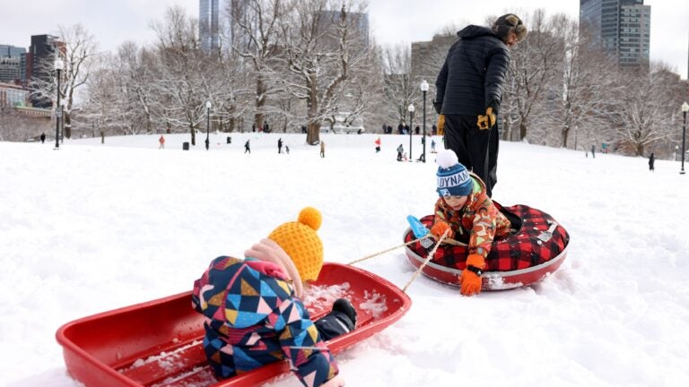
Temperatures this morning will only be in the teens and low 20s across the region with snow cover from the weekend. The heaviest snow from our recent storm was from northeastern Massachusetts on through Northern New England, but from Nantucket to Boston and back to Pittsfield everybody had a light to moderate snowfall. Boston got 5.5 inches and northeastern Mass., 5 to 8 inches.
Worst part of the forecast was actually in southern Northern New England, heavier band a little further north than I expected. Everybody else was pretty much within the range. Timing worked out well. https://t.co/8IyaDBbJsA pic.twitter.com/eCrkNfIvgJ
— Dave Epstein (@growingwisdom) February 9, 2025
I have been writing about the active pattern that’s underway and this is going to continue for at least another week or more. We have multiple storm threats, some of which will miss us; others that will impact us. Depending on the track of these storms, we will see snow or a mixed bag of precipitation or even rain.
Monday is an opportunity for a little bit of a lull between storms with sunshine and temperatures in the low 30s. Now that we are into solar spring, the sun angle is somewhat higher and similar to just before Halloween. This added intensity allows some melting, especially on asphalt surfaces. You’ll notice the snowbanks pulling back quite a bit over the next two days even though temperatures won’t be that warm.
On Tuesday night, a storm will pass south of New England. The northern fringe of the precipitation may make it onto the Cape and the islands with an inch or two of snow and if the storm wobbles a little farther north, places like Plymouth and Providence and down to southwest Connecticut could see a coating to an inch. I don’t think it’s going to make it into Boston, but we’ll take another look at it Tuesday morning.
After this system passes, we have a break for Wednesday. There’s not going to be a lot of sunshine and clouds will tend to thicken up. More precipitation arrives Wednesday night and we’ll have more of a sense of timing on that storm tomorrow, but we will make it past the evening commute without any fanfare.
It’s a different story for Thursday morning. At that time, precipitation will have overspread the area in the form of snow, sleet and rain. The dividing line between these different precipitation types can’t be predicted this early, but the morning commute is likely to be slower on Thursday.
This is another one of those faster moving systems and does pull out of the region in the afternoon. If enough warm air infiltrates, then everybody in Southern New England will change over to rain with more accumulating snow up north.
A large, cold sprawling area of high pressure will take over for Friday and Saturday. As that exits the area, a new system moves in sometime on Valentine’s Day, perhaps at the end of the day or on President’s Day.
There’s probably one or two more systems after that, but the only thing that I would say we know at this point is the pattern shows no signs of quieting down for now.
Southern New England: Sunshine with cold temperatures today as highs reach near freezing. A storm passes south of us Tuesday, but clouds and some light snow make it to the south coast Tuesday night. Highs will be near freezing again.
Western Mass.: Sunshine along with cold temperatures today. Highs will be just under freezing. Look for partial sunshine on Tuesday.
Cape and Islands: Sunshine today is followed by more clouds Tuesday. Some of the clouds may yield a few hours of light snow Tuesday night with a coating to an inch or two possible if a storm comes close enough.
Northern New England: Look for plenty of sunshine with temperatures in the 20s. Low pressure well south of New England will produce a few high clouds across southern sections later Tuesday.
❄️ Get winter weather alerts and snow maps, delivered to your inbox.


To comment, please create a screen name in your profile
To comment, please verify your email address
Conversation
This discussion has ended. Please join elsewhere on Boston.com