Newsletter Signup
Stay up to date on all the latest news from Boston.com
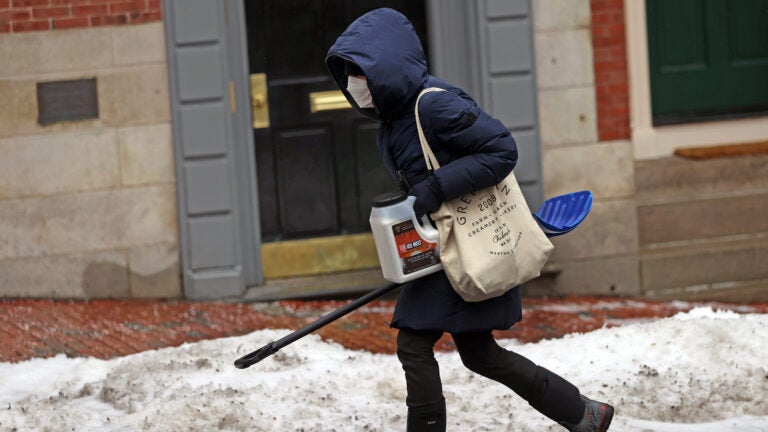
It’s going to be a busy weather week in Massachusetts.
Forecasters are predicting the state will see three different storms that will bring a range of impacts to our doorsteps.
Boston 25 News meteorologist Shiri Spear described the week’s weather in this way: “A winter sandwich if you will!”
Below, what we know so far about the three storms.
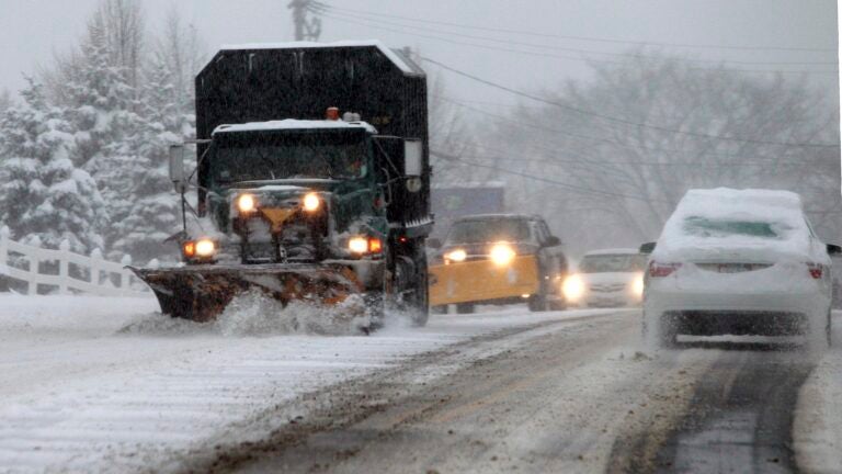
First up is a weather system that meteorologists are billing potentially as the Greater Boston area’s first “plowable” snowfall of the winter. Arriving Monday night, the snow is expected to impact Tuesday morning’s commute. Forecasters are predicting that the Berkshires will see the highest snowfall totals (between 7 and 10 inches) while eastern parts of the state could see between 2 and 5.
The National Weather Service has issued a Winter Storm Warning for western parts of Massachusetts, while a Winter Weather Advisory is in effect Monday night through Tuesday morning for eastern parts of the state.
After the snow, Bay State residents will see more precipitation as the week goes on, though the service warned that the weather patterns remain unsettled.
For the second storm, rain will overspread the region Wednesday night into Thursday morning. According to the National Weather Service, while rain is what is mostly expected, a wintry mix could be seen across northern Massachusetts, particularly as the storm gets underway.
Things will start to dry out Thursday afternoon with temperatures forecast to reach highs between 45 and 50 degrees before they turn cold again in the evening.
According to the weather service, confidence around the third storm remains low at this point.
But rain and/or snow could be headed our way for Friday night into Saturday. Snow showers could then trail through the region Saturday into Sunday, according to the service.
7News meteorologist Chris Lambert wrote on Twitter that the third storm could be “more significant” than the midweek one.
Matt Noyes, chief meteorologist at NBC10 Boston and NECN, wrote on Twitter that it is too early for a “formal” snow map for the Friday storm.
But he shared a graphic showing predicted snow totals for Massachusetts ranging largely between 6 and 12 inches.
Before you panic and head out to stock up on bread, milk, and eggs to close out the week, you may want to give it some time.
“Lots of uncertainty and moving parts here,” the National Weather Service said Monday of the potential storm on Friday and Saturday.

Stay up to date on all the latest news from Boston.com


To comment, please create a screen name in your profile
To comment, please verify your email address
Conversation
This discussion has ended. Please join elsewhere on Boston.com