Newsletter Signup
Stay up to date on all the latest news from Boston.com
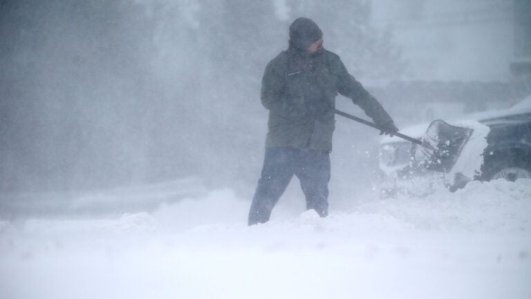
Get your shovels ready, Massachusetts. The snow is already starting to pile up.
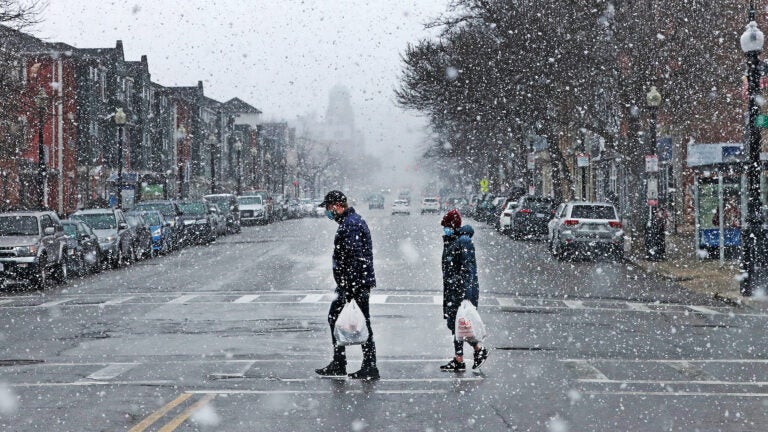
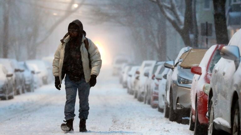
A powerful winter storm is battering the region, and the National Weather Service is warning the system is expected to bring “near record snowfall, blizzard conditions, near hurricane force wind gusts, and coastal flooding” through Saturday evening.
A Winter Storm Warning is in effect for much of Massachusetts through early Sunday, and the service has issued a Blizzard Warning for the eastern part of the state, which is also in place through early Sunday morning.
“Road conditions will make for near impossible travel!” service forecasters said Saturday. “It is strongly urged to not travel.”
Near hurricane force gusts are forecast across Cape Cod, and winds between 50 and 60 mph are also expected for eastern Massachusetts.
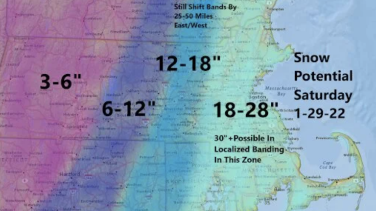
Boston could see between 24 and 30 inches of snowfall from the storm, according to the service.
Service forecasters said the expected snow totals will be record, or near record, in many locations for the state.
“Snowfall rates could reach 2 to 4 inches per hour at times with possibility of thundersnow across eastern MA and RI,” the service said. “This will make travel very dangerous to nearly impossible.”
Below, see what local forecasters are saying about the winter storm and how it is expected to impact Massachusetts through the day.
powered by:
Stay up to date on all the latest news from Boston.com


To comment, please create a screen name in your profile
To comment, please verify your email address
Conversation
This discussion has ended. Please join elsewhere on Boston.com