Why an unusual phenomenon will cause a frigid December in the U.S.
A sudden stratospheric warming could soon disturb the polar vortex. Why that will cause frigid air to spill from the North Pole to North America.
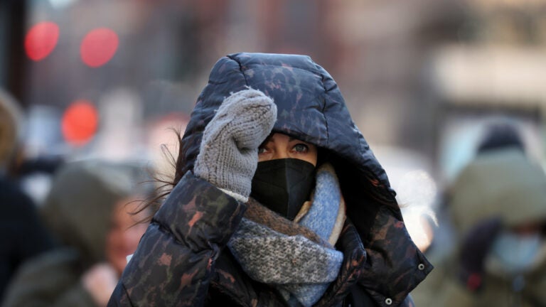
December might be extra chilly this year across parts of the United States this year because of a weather phenomenon unfolding miles above the North Pole.
It’s called sudden stratospheric warming and happens once every other winter on average, but very rarely in November. Despite the name, its occurrence does not imply there will be any sudden warming where people live. In fact, it’s almost the opposite.
A rapid warming and weakening of winds in the stratosphere can disturb the polar vortex, a ring of frigid, stormy air that typically sits high above the North Pole.
Impacts can cascade downward through the atmosphere, sometimes causing very cold air to spill southward toward more populated areas, as the polar vortex becomes displaced or elongated.
This process can take weeks to unfold, but long-range forecasts favor below-average temperatures across parts of 35 states from late November into December, particularly after Thanksgiving.
How and why it happens
Sudden stratospheric warming events are natural phenomena, happening once every other winter on average.
But major events in November are very uncommon, with only one occurring since the 1950s – and the one predicted this November may become the earliest on record. They more typically occur in January and February and not in November or December. That’s because the polar vortex is still in its formative stages during late fall and early winter, making it less susceptible to warming events.
For an event to qualify as a major sudden stratospheric warming, several meteorological thresholds must be met, including a rapid rise in stratospheric temperatures and sharp deceleration in winds. A minor warming event only requires a rapid rise in temperatures. These factors can ultimately disturb the polar vortex, with flow-on effects to weather patterns lower in the atmosphere.
“The reason we pay attention to sudden stratospheric warming events is not only because the weather impacts can occasionally be severe, but also because changes in the stratospheric winds can lead to persistent changes in weather for many weeks, giving us more time to prepare,” said Amy Butler, a research scientist at the National Oceanic and Atmospheric Administration’s Chemical Sciences Laboratory.
In September, a rare sudden stratospheric warming occurred above Antarctica, causing the polar vortex to become lopsided, altering weather patterns across the Southern Hemisphere. These events are less common in the Southern Hemisphere, where there is less land and more ocean, leading to more uniform temperatures and typically a strong polar vortex.
When frigid air may arrive
The stratospheric warming is forecast to reach peak intensity during late November, when temperatures in that layer of the atmosphere surge 40 to 50 degrees above average and winds slow.
Probably linked to this phenomenon, strong high pressure is forecast to build over the Arctic Circle, gradually displacing that area’s typically frigid air southward into Canada and the U.S.
Below-average temperatures are predicted to sweep across the nation in late November, around or just after Thanksgiving, with several more waves of cold air during December.
In the weeks following a sudden stratospheric warming event, below-average temperatures can affect parts of the U.S., Europe and Asia with above-average temperatures in Greenland and parts of the Arctic, Butler added.
However, Butler also said that these details can vary from event to event. It currently looks like the northern U.S. and southern Canada will bear the brunt of this particular episode.
Simon Lee, a lecturer in atmospheric science at the University of St. Andrews, said because it’s still early in the season, the coldest air masses are not yet fully developed. That may limit just how intensely cold it can get.
He also noted a lack of consensus in linking the phenomenon to climate change.
“Despite their increased media attention, sudden stratospheric warming events are not becoming more common and climate models disagree on whether there will be an increase or decrease in their frequency due to increased CO2 forcing,” Lee said.
Despite the potential for an unusually cold end to the year, 2025 is expected to become the second- or third-warmest year on record for the planet.
Rising interest in the polar vortex
Many people across the U.S. may recall the polar vortex episode of early 2014. For the Midwest, it turned out to be the coldest winter in over 30 years. In D.C., January 2014 was the coldest in decades by many counts.
It also turned out to be a year when interest in the polar vortex spiked.
Although the term polar vortex may seem relatively new, the phenomenon itself isn’t. Disruptions of the vortex were first written about by German meteorologist Richard Scherhag in 1952 – more than 70 years ago.
Despite the term’s rising popularity and association with unusually cold weather, Lee stressed that the polar vortex exists in the stratosphere and that scientists caution using the term to describe individual extreme cold-weather events.


To comment, please create a screen name in your profile
To comment, please verify your email address
Conversation
This discussion has ended. Please join elsewhere on Boston.com