Newsletter Signup
Stay up to date on all the latest news from Boston.com

The large Hurricane Lee was traveling north toward New England and Canada Thursday, though its latest track at 8 p.m. showed a slight move to the east compared to previous predictions.
“The storm has turned slightly east, so at this time we are expecting the worst of it to miss Boston, which is good news,” said Mayor Michelle Wu during a press conference Thursday morning. “Again it’s unpredictable, but fingers crossed that it will remain this projection.”
Despite the fact that this storm — expected to be a Category 1 by the time it reaches the region — will most likely not hit Massachusetts, meteorologists said residents should still prepare for some severe weather conditions. Residents could see conditions as early as Friday night, with some severe weather at its peak early Saturday morning.
“The way we’ve been messaging it to folks is that it’s a strong Nor’easter — minus the snowfall,” said Bill Leatham, a local meteorologist for the National Weather Service.
Here’s what weather conditions to expect and where Lee is now two days ahead of its New England arrival.
The National Hurricane Center’s most recent update on Lee at 11 p.m. Thursday showed that the hurricane was 590 miles south of Nantucket. It had sustained winds of 85 mph, a Category 1 hurricane according to the Saffir-Simpson Scale.
Meteorologists for NHC said Lee will weaken some more, but cautioned that the system is “likely to remain a large and dangerous hurricane into the weekend.”
That’s because this hurricane has a larger wind field, which is when strong winds extend hundreds of miles from the actual storm. Leatham said this tends to happen to a hurricane that makes its way to our region.
“Usually when these storms get into our area, what happens is the winds of the system expand out from the center of it,” Leatham said.
Tropical storm winds currently extend as far out as 345 miles, while hurricane-force winds extend as far out as 105 miles.

Meteorologists knew Monday that marine hazards would be dangerous, specifically rip currents and waves, warning beachgoers and mariners to stay out of the water until Lee passes. Those conditions are already here, said NHC meteorologist Stephen Konarik.
What is also likely to be a problem, especially for Cape Cod and the islands, is significant storm surge and coastal erosion.
“It’s a little too early to give specific values,” Konarik said. “But there will be significant storm surge, especially north-facing beaches and coastlines, for a long period of time.”
Now that the system is approaching, meteorologists are also a little more certain of what the area’s next biggest threat is: winds.
Because Lee’s wind field is so large, it doesn’t need to hit Massachusetts for the state to feel tropical storm-force winds.
Leatham said Wednesday that the forecast shows Cape Cod and the islands seeing wind speeds up to 40 mph and wind gusts greater than 60 mph. Farther inland, wind speeds could clock in at 30 mph, with gusts at 50 mph.
During a press conference Thursday, Wu said Boston proper could expect wind speeds up to 30 mph.
These are the kinds of winds overall that could knock down power lines and trees, Leatham said.
The next threat is heavy rain. NHC said the region could see between one and four inches of rain, with the highest amounts recorded closer to the coast.
Lastly flooding could be an issue, especially given the amount of rain — and flooding — Massachusetts has seen recently.
The saturated ground, position of the track, and storm surge could play a role in how badly it floods, with flooding likely to be worse or occur along the coast. Wu said city officials are paying close attention to the city’s flood-prone areas like East Boston, Charlestown, and the North End, and are ready to deploy services for residents if severe flooding does occur.
As of 5 p.m. Thursday, NHC had issued several watches for New England:
Konarik said that residents living near the coast, especially Cape Cod and the islands, should know if they’re in a flood-prone area and pay attention to hazardous road conditions in their area. Turn around if you encounter a flooded road, he added.
The Atlantic White Shark Conservancy removed its devices that track sharks’ locations along the Cape ahead of the storm, NBC10 reports.
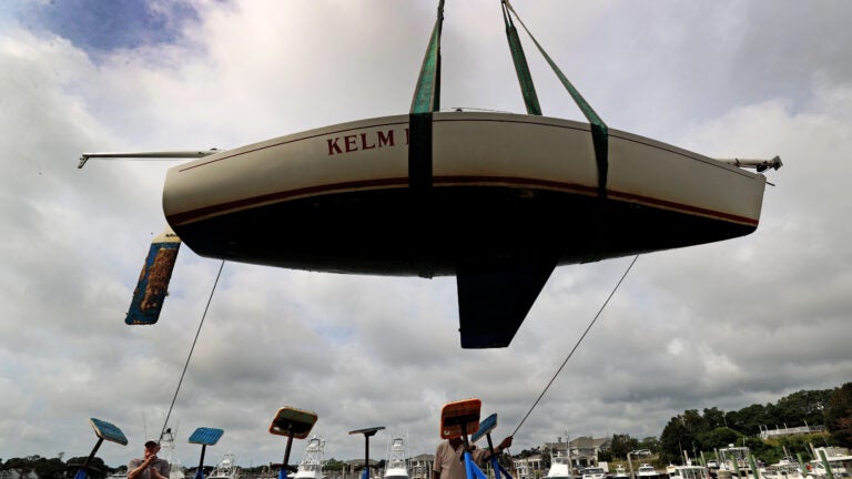
The Boston Globe also reported that towns along the Cape have asked residents to secure their boats or remove them from the water ahead of Lee’s arrival.
Residents can also find tips for hurricane preparedness on Ready.gov.

Stay up to date on all the latest news from Boston.com


To comment, please create a screen name in your profile
To comment, please verify your email address
Conversation
This discussion has ended. Please join elsewhere on Boston.com