Newsletter Signup
Stay up to date on all the latest news from Boston.com
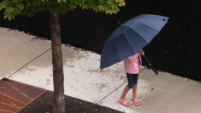
Massachusetts has gotten some much needed rain this week, as most of the state continues to endure an “extreme” drought.
The National Weather Service said radar estimates indicate that “well over 1.5 inches” fell in southeastern Massachusetts, northern Connecticut, and northern Rhode Island on Monday and Tuesday.
Some areas saw more than six inches, which caused some flash flooding.
The Boston area was among the spots that saw up to 1.5 inches.
The wet weather was a welcome relief, even if meteorologists have warned that the precipitation won’t be enough to break the drought. With the dry conditions, Massachusetts has seen nearly 100 wildfires this month.
As the week continues, service forecasters are predicting that both Wednesday and Thursday will see “very warm” and dry weather, but more rain could be on the horizon when a cold front arrives later in the week. Scattered showers and thunderstorms could once again make an appearance on Friday afternoon or evening.

Stay up to date on all the latest news from Boston.com


To comment, please create a screen name in your profile
To comment, please verify your email address
Conversation
This discussion has ended. Please join elsewhere on Boston.com