Newsletter Signup
Stay up to date on all the latest news from Boston.com
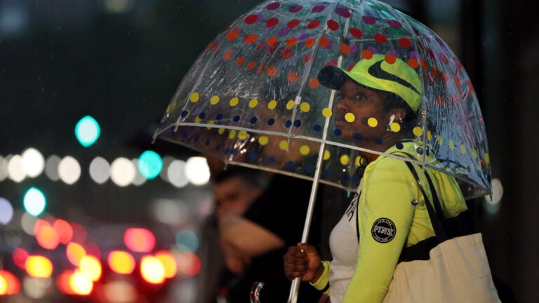
Another round of showers and thunderstorms is in the forecast.
Temperatures are expected to reach “well into” the 80s in Massachusetts on Thursday, the National Weather Service is predicting. But a cold front is expected to bring scattered showers and thunderstorms to the state by mid-afternoon and early evening, focused across eastern Massachusetts and Rhode Island.
“Any threat here should be isolated and in the form of localized strong to damaging wind gusts,” service meteorologists said. “Heavy rain and brief very localized street flooding would also be possible in any strong thunderstorms.”
The rain is desperately needed; most of Massachusetts is experiencing “significant” drought conditions. The only areas not experiencing the extremely dry conditions are Cape Cod, the Islands, and the westernmost chunk of the state.
Forecasters said Thursday’s stormy weather will give way to a “beautiful day” on Friday.
“It will be a great day for outdoor activities,” they said.

Stay up to date on all the latest news from Boston.com


To comment, please create a screen name in your profile
To comment, please verify your email address
Conversation
This discussion has ended. Please join elsewhere on Boston.com