What forecasters are saying about the potential for snow and rain on Thursday and Friday
"Looking ahead, we're in for a messy 72 hours from Wed-Fri."
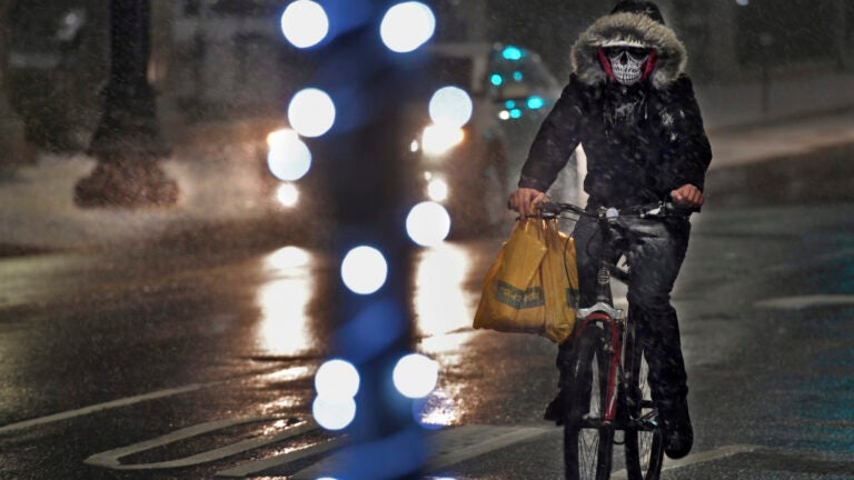
Forecasters are tracking potential snow and rain that could impact commuters later this week.Monday is kicking the week off with mild and dry conditions, but the National Weather Service is predicting the weather pattern for Massachusetts will turn “unsettled” for much of the week.“Could see snowfall accumulations and a wintry mix Wednesday night into Thursday,” service forecasters wrote. “Still looking particularly wet late Thursday into Friday, but mainly as rain. Specific details still remain unclear at this point in time.”Below, what local meteorologists are saying so far about the potential for snow and rain to close out the work week.
Dave Epstein: ‘Still looking unsettled Weds to Friday timeframe.’
Still looking unsettled Weds to Friday timeframe. pic.twitter.com/UXjPksPXKp
— Dave Epstein (@growingwisdom) February 3, 2020
Shiri Spear, Boston 25 News: ‘Some heavier precipitation is expected late week.’
Unsettled weather returns this week with LIGHT, spotty showers Tuesday & Wednesday. Some heavier precipitation is expected late week. @boston25 pic.twitter.com/u28Mb7IgKc
— Shiri Spear (@ShiriSpear) February 3, 2020
Zack Green, WBZ: ‘Best chance for snow arrives Thursday morning which likely makes for [headaches] on the early commute.’
Still some time to iron out Thursday morning’s commute but looking rather messy with snow/sleet potential for most. This will likely be the biggest headache between Wed-Friday’s activity. pic.twitter.com/DZ2RsFFcpg
— Zack Green (@zackgreenwx) February 3, 2020
Looking ahead, we’re in for a messy 72 hours from Wed-Fri. Best chance for snow arrives Thursday morning which likely makes for headings on the early commute. Steady, moderately heavy rain caps off the week with 40s on Friday. pic.twitter.com/ZnvNyOrfdU
— Zack Green (@zackgreenwx) February 3, 2020
Eric Fisher, WBZ: ‘Initial snow should pretty quickly go to ice as temps rapidly warm aloft.’
Still eyeing Thursday morning for a period of wintry weather. Initial snow should pretty quickly go to ice as temps rapidly warm aloft.
Then to rain south to north as the day goes on. Highest impact at the moment looks like AM commute and northern MA into NH pic.twitter.com/jJOu5Jhehn
— Eric Fisher (@ericfisher) February 3, 2020
Mike Wankum, WCVB: ‘It will change to a wintry mix later in the day as warm air surges north.’
This is the map Thursday morning. Expect snow for the morning commute. It will change to a wintry mix later in the day as warm air surges north. #wcvb pic.twitter.com/648ixnt7iH
— Mike Wankum (@MetMikeWCVB) February 3, 2020
I’m on air in just a few minutes. Lots to talk about. Snow Thursday morning and heavy rain on Friday. Tune in, I’ll have my latest update. #wcvb pic.twitter.com/b6IreQV52h
— Mike Wankum (@MetMikeWCVB) February 3, 2020
Chris Lambert, WHDH: ‘Commute-wise, some messy weather around Thursday and Friday with snow/ice chances highest Thursday morning, and heavy rain likely by Friday morning.’
Snow and ice for a morning commute? Looking likely Thursday morning before going over to rain. Commute-wise, some messy weather around Thursday and Friday with snow/ice chances highest Thursday morning, and heavy rain likely by Friday morning. pic.twitter.com/RnZ1zltqAT
— Chris Lambert (@clamberton7) February 3, 2020
Cindy Fitzgibbon, WCVB: ‘Looking like a sloppy end to the week.’
Thursday morning could be messy with snow and a wintry mix before we see a change to rain later in the day. Looking like a sloppy end to the week #wcvb pic.twitter.com/jxyd93K00x
— Cindy Fitzgibbon (@Met_CindyFitz) February 3, 2020


To comment, please create a screen name in your profile
To comment, please verify your email address
Conversation
This discussion has ended. Please join elsewhere on Boston.com