Map: How much snow Mass. is predicted to see Friday afternoon
Forecasters are warning the snow showers could impact the evening commute.
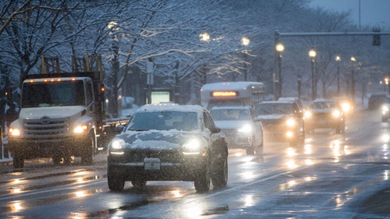
The National Weather Service is warning a fast-moving clipper system will bring periods of light snow to Massachusetts Friday afternoon and evening — potentially impacting the rush hour commute.
Service forecasters said the areas of the Bay State with the best chance of seeing light accumulations are along, and north, of the Mass. Pike, while the east slopes of the Berkshires could see more than 2 inches. Boston is predicted to see less than an inch of snowfall.
“Those in eastern/central MA will continue to be impacted by snow showers during the Friday evening rush hour which could cause some additional travel hazard,” forecasters wrote.
[Slippery Travel This Afternoon: North of MA Pike] Light snow develops near and north of the MA Turnpike this afternoon. Slippery travel anticipated in northern, MA especially along and north of an Orange, to Fitchburg, to Lawrence line. A coating to 1″ with localized 2″ amounts. pic.twitter.com/3O5THqfTec
— NWS Boston (@NWSBoston) December 6, 2019
[1045 AM] Snow will be overspreading northwest MA through lunch time. Roads will become snow covered and slippery, so please drive with extra caution. pic.twitter.com/joOfV1OOQ7
— NWS Boston (@NWSBoston) December 6, 2019

According to the service, colder, drier air will move into the region Friday night and Saturday for the weekend. Precipitation will return with off and on rain in the forecast for Monday and Tuesday.


To comment, please create a screen name in your profile
To comment, please verify your email address
Conversation
This discussion has ended. Please join elsewhere on Boston.com