‘A potential soaking’: Here’s what local forecasters are saying about the weather in Boston this week
"Tuesday into Tuesday night has the potential to bring parts of New England a lot of rain."
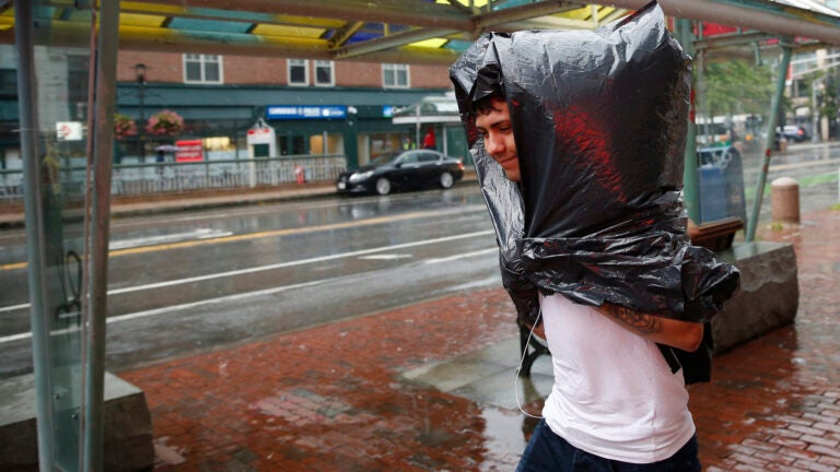
While the National Weather Service called Monday a “seasonably, dry day,” Tuesday is predicted to bring in “a potential soaking … [with] heavy downpours [and] the possibility of some localized flooding.”Massachusetts east of Berkshire County is under a “hazardous weather outlook” for Tuesday, the service said. The rain could come with thunderstorms.
One more seasonably, dry day on tap for Monday despite the chance for a few spot showers across northwest MA.
Thereafter we’re looking at a potential soaking for Tuesday w/ heavy downpours & the possibility of some localized flooding. pic.twitter.com/f69wiIsHpa
— NWS Boston (@NWSBoston) August 11, 2019
Tuesday’s expected high is 78 degrees, and the heavy rain could continue into Tuesday evening, according to the service.
[5 Day Forecast] Tuesday will be the highest impact weather day of the week. Heavy rain with some embedded thunderstorms are possible. The greatest threat will be the potential for localized flooding across south coastal New England. #MAwx #RIwx #CTwx pic.twitter.com/ITlKFc8Jsj
— NWS Boston (@NWSBoston) August 12, 2019
“This could have a big impact on the Tuesday PM commute,” Vicki Graf, a meteorologist with Boston 25 News, said of the rain.
Rain returns Tuesday. This is just one Futurecast estimate on when & where downpours will arrive — this could have a big impact on the Tuesday PM commute! pic.twitter.com/X2p0F7R0xg
— Vicki Graf (@VickiGrafWX) August 12, 2019
Chris Gloninger, a meteorologist with NBC10 Boston, said that while people shouldn’t “get caught up” in predicted rainfall totals, “Tuesday into Tuesday night has the potential to bring parts of New England a lot of rain (and other places not much at all).”
Don’t get caught up in exact amounts or even the placement of heaviest rain, but Tuesday into Tuesday night has the potential to bring parts of New England a lot of rain (and other places not much at all). pic.twitter.com/Ujf9ZB1HIO
— Chris Gloninger, CCM, CBM (@ChrisGloninger) August 11, 2019
“Lighter showers may arrive in the [morning] with some downpours most likely in the afternoon,” meteorologist Barry Burbank of WBZ said.
A Weak Wave Of Low Pressure Is Destined To Track From Ohio To Southern New England Resulting In A Swath Of Potentially Heavy Rain With Some Embedded Lightning & Thunder Tuesday. Lighter Showers May Arrive In The AM With Some Downpours Most Likely In The Afternoon. #drenching #wbz pic.twitter.com/uSOQtD5Gvf
— Barry Burbank (@BarryWBZ) August 11, 2019
There’s also a 30 percent chance of rain showers on Wednesday and Thursday, according to the service.
Things may clear up by the weekend. The service is predicting Saturday to be mostly sunny with temperatures near 79. Sunday is also forecast as mostly sunny, with a high near 81.
“NO super hot weather or prolonged excessive humidity on this week’s menu,” Burbank said.
My Fresh 7-Day WBZ Weather Forecast: Rain & Possible Boomers Expected Tuesday & Perhaps A Few More Showers On Thursday. NO Super Hot Weather Or Prolonged Excessive Humidity On This Week’s Menu. An Onshore Breeze Will Keep The Coast Cooler As Noted. #wbz pic.twitter.com/kRPUm8Xeer
— Barry Burbank (@BarryWBZ) August 11, 2019
There’s also “no heatwaves in the near future,” Terry Eliasen, a meteorologist with WBZ, said.
https://twitter.com/TerryWBZ/status/1160920418603155457