Here’s what to expect from the winter storm Wednesday night into Thursday
“This is mainly a rain situation."
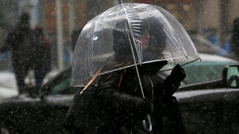
The next winter storm to impact Massachusetts promises snow Wednesday night with a transition to freezing rain in the early morning hours Thursday and then to rain later that morning.The National Weather Service says the storm won’t bring much in terms of accumulating snow.“This is mainly a rain situation, and it’s not going to be any big blockbuster of a storm,” Alan Dunham, a meteorologist with the service, told Boston.com Tuesday.The precipitation won’t start until Wednesday evening, between 6 and 8 p.m., according to Dunham.“Basically, you get to enjoy [the] weather … for most of Wednesday,” he said, noting that skies will be mostly sunny before they turn cloudy Wednesday afternoon. “We’re not really looking for any precipitation to get into the Greater Boston metro area actually until early Wednesday night, and that will be snow with a quick change to freezing rain and then rain.”The storm will bring “light snow accumulations,” according to Dunham. Temperatures are expected to be in the upper 20s Wednesday night.
[TONIGHT → THURSDAY] Here are our latest thoughts on a period of snow and sleet, changing to freezing rain across the interior and rain along the coast tonight into early Thursday. Your takeaway? ➡️ Use caution on the roads; they could be slick late Wed through Thursday morning. pic.twitter.com/7zCs9GHLWK
— NWS Boston (@NWSBoston) February 20, 2019
The transition from snow to freezing rain is forecast for between midnight and 2 a.m., Dunham said, then to rain between 6 and 7 a.m. Icing in Boston is predicted to be between .01 and .10 inches, according to a map from the service, as is the case for most of the rest of the state. Some areas along the coast — Gloucester, Provincetown, and Chatham — aren’t expected to have any icing.
A winter weather advisory has been extended right up to the Massachusetts coast, except for the Cape. Initially, it wasn’t supposed to include Boston, stopping just east of Worcester.
Dunham told Boston.com Wednesday morning that the change was due to the freezing rain and the possibility of 1 to 3 inches of snow accumulation in the Boston area.
“I think our best shot is probably 1 to 2 (inches),” he said. “(But) there is an outside shot of getting 1 to 3 (inches).”
The rain is forecast to stop around 1 to 2 p.m. Thursday, and temperatures should reach the high 40s. The storm isn’t expected to bring any strong winds or flooding, Dunham said.