7 maps forecasting how much snow Sunday’s storm could bring to Massachusetts
All of Massachusetts, except for Cape Cod and the Islands, will be under a winter storm warning or watch for the duration of the storm.
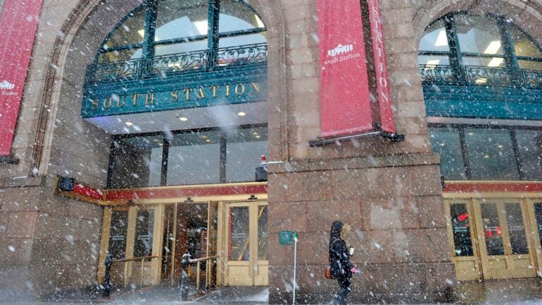
Massachusetts can kiss its largely snowless winter goodbye this weekend, with most of the state expected to see at least 4 inches of the white stuff from a storm Saturday night into Sunday.
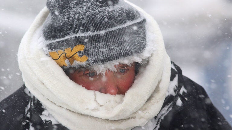
The precipitation is expected to start as snow Saturday night, before transitioning to rain, freezing rain, and sleet in parts of the state Sunday morning. The National Weather Service has issued a flood watch for southeastern Massachusetts, as 2 to 3 inches of rain are anticipated. Starting Sunday afternoon, temperatures will drop as Arctic air moves in, setting up conditions for a “flash freeze,” service meteorologists said.
Change over to a soaking rain Sunday across SE New England. Rainfall of 1-2″, locally higher. FLOOD WATCH posted. Exiting late, surfaces remaining wet, looking at a FLASH FREEZE as Arctic air pushes in late Sunday into Monday. Blustery NW winds, wind chills -10 to -20° pic.twitter.com/7nLjb3nyad
— NWS Boston (@NWSBoston) January 19, 2019
[Flash Freeze Sunday Night into Monday Morning ] Temps plummeting beginning 1 pm Sunday. It’ll be 20° colder by 1 am Monday & well below freezing w/ temps edging towards the single digits. Greatest concern along the Boston – Providence corridor and S&E for the Monday AM commute. pic.twitter.com/KH39TxGo1L
— NWS Boston (@NWSBoston) January 19, 2019
All of Massachusetts, except for Cape Cod and the Islands, will be under a winter storm warning or watch for the duration of the storm.

Below, seven maps from local meteorologists predicting how much snow will fall.
National Weather Service

David Epstein

WBZ
@TerryWBZ is predicting plenty of freezing rain as part of this weekend’s storm. https://t.co/LxMtxyY2CL
— WBZ | CBS News Boston (@wbz) January 19, 2019
WCVB
A few minor tweaks but we’re staying close to our snowfall projects from last night. DO NOT LET DOWN YOUR GUARD. We’ve become increasingly worried about ice and freezing rain. #wcvb pic.twitter.com/HDw0U6ocWN
— Mike Wankum (@MetMikeWCVB) January 19, 2019
7News
Saturday Evening Snowfall Forecast. Looks like a fair amount of sleet & freezing rain keep heavy snows well north & west of Boston. Most of that is on the ground by 4-5am Sunday. Sleet, freezing rain and rain after 5am Sunday. #7news pic.twitter.com/5GrKvtXWv2
— Jeremy Reiner (@jreineron7) January 19, 2019
Boston 25 News
Ok folks, here’s the latest snowfall forecast map for Sunday
*Heaviest snow will be north of the Pike
*Snow is expected for most overnight
*Snow will transition to freezing rain, sleet & rain as early as 4AM Sunday from south to north
*Snowy, slushy, icy travel Sunday afternoon pic.twitter.com/rIEO5PXlVP— Vicki Graf (@VickiGrafWX) January 19, 2019
NBC10 Boston
LATEST THINKING: along and south of this Pike most of this falls in a couple of hours (around midnight) – quick transition to sleet/freezing rain.
Sleet/freezing rain = lower totals@NBC10Boston @NECN pic.twitter.com/Ulm6s52bEY— Chris Gloninger, CCM, CBM (@ChrisGloninger) January 19, 2019