6 maps predicting how much snow could fall in Massachusetts on Friday
Forecasters are cautioning that the first storm of the weekend could make for a messy commute on Friday morning.
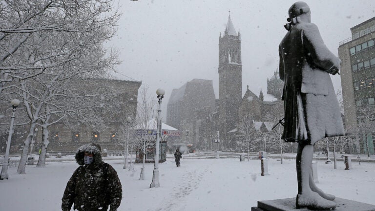
Local meteorologists are keeping a close eye on two storms that could bring accumulating snow to Massachusetts this weekend.
The bigger storm is expected to hit Saturday night into Sunday, forecasters say. But the timing of the potential snow expected Thursday night into Friday could cause problems for commuters, according to the National Weather Service.
“With low temperatures in the teens and low 20s, we’ll see light accumulations of snow,” the service said Thursday. “Though light, it will have bad timing, coming ahead of and during the Friday morning commute.”
The service said the snow is expected to transition to rain for much of the “coastal plain” of Massachusetts and Rhode Island before the precipitation tapers off during late morning, early afternoon on Friday. Below are six maps from local meteorologists predicting how much snow could accumulate in the region with the first storm of the weekend.
National Weather Service
Light snow arrives late tonight into Friday morning. The Friday morning commute will likely be impacted to some extent. pic.twitter.com/gxO2F9yWJE
— NWS Boston (@NWSBoston) January 17, 2019
David Epstein

WBZ
Light snow develops overnight through early Friday morning… changing to rain for parts of SE MA and at the coast. Not a biggie, but may create some slick spots for the AM Commute.
Forecast on #WBZThisMorning through 7 AM! pic.twitter.com/2nOSNAzGWt
— Sarah Wroblewski (@sarahwroblewski) January 17, 2019
WCVB
Sunny and cold today… but dry. A little light snow Friday AM could make the commute slippery but its milder in the afternoon. Cold and dry Saturday- setting the stage for a MAJOR WINTER STORM Saturday night- Sunday. Turn on #WCVB until 7am for more! pic.twitter.com/OXC0g8D0uy
— Cindy Fitzgibbon (@Met_CindyFitz) January 17, 2019
7News
Today is quiet with highs near 40°, but we’re keeping an eye on Friday morning’s commute with snow showers in the forecast. Here’s a look at how much we could get: pic.twitter.com/uFn8C7VlDl
— Jackie Layer (@WeatherJackie) January 16, 2019
Boston 25 News
No changes to the FRIDAY MORNING snow map. Coating-1″ for most, up to 2-3″ at highest elevations. #mawx #nhwx @boston25 pic.twitter.com/0qenWdAPef
— Shiri Spear (@ShiriSpear) January 17, 2019


