David Epstein: 2 nor’easters are heading this way. Here’s what to know.
The second storm could bring snow or mixed precipitation to areas quite close to Boston.
The region’s stormy pattern continues this week with two coastal storms, each of which will bring significant precipitation and some strong wind. The second storm could bring snow or mixed precipitation to areas quite close to Boston.
If this current pattern continues through the whole winter, we are going to be looking at a very stormy cold season. That said, the jet stream could — and is likely to —undergo a change from its current configuration before the peak of winter, so snow haters don’t need to panic just yet.
https://giphy.com/gifs/DBkzOKoyQI6T0hUTme
A storm Monday night into Tuesday will bring rain (green) to southern New England and snow (blue) to the mountains. (COD Weather)
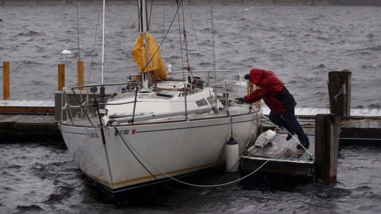
The first new storm system will move up the coast, bringing rain late Monday and continuing through to Tuesday, when the morning commute is definitely going to be affected by the steady and heavy rain. It’s going to be the type of day where you should allow for some extra commuting time.
There won’t be enough rain for river flooding, but watch for some big puddles on the roads early Tuesday morning.
Early skiing
There will be some snow in northern New England and ski country — ski areas could do quite well with up to 8 inches of snow in the higher terrain areas. As a side note, skiiing this weekend will be very good for this time of year for the mountains that have already opened.

Winter cold arrives Wednesday
Behind the storm comes the coldest air of the season so far, filtering into New England with temperatures in the 30s for both Wednesday and Thursday. The overnight lows will also bring a hard freeze. This cold air arrives with a period of strong winds, some of which could create scattered pockets of tree damage and therefore power outages. This isn’t expected to be widespread, but it’s never a bad idea to have cell phones and other devices charged beforehand.

Second nor’easter this week
On Thursday night, a new low pressure area will ride northward along the coastline as another nor’easter. This storm will enter the region with cold air in place for some wintry precipitation at its start. It’s too early to say whether there will be any real accumulation early Friday morning, but the timing may be such that some inland areas get their first taste of winter driving for a few hours.
This shouldn’t be a big snowstorm, but it’s a little early to forecast with certainty. The amount and placement of all the snow, sleet, and freezing rain won’t really have a solid forecast for several days. Eventually, enough mild air will move in to change any wintry precipitation to rain before it all comes to an end later Friday. That should set us up for a dry weekend.

A bit of a break
As we head into the week of Thanksgiving, the cold air may retreat and give us a reprieve from the winter-like temperatures before December. Overall though, the meteorology of the atmosphere continues to look cold and active for this part of the country. Buckle up.