Here’s the timing for the thunderstorms expected Wednesday in Massachusetts
Get ready for some “tropical humidity.”
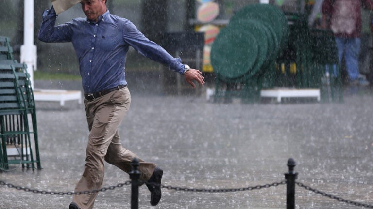
You’ll want to keep your umbrella handy on Wednesday.
The National Weather Service is forecasting that a first round of scattered showers and thunderstorms will occur during the morning, with the system exiting the region around 10 a.m. The meteorologists say there is the potential for some localized street flooding, but the risk is lower than previously forecast.
[805 am] Brief heavy rain showers will move quickly through the Boston metro area in the next half hour. Brief minor street flooding on typically vulnerable roads may result in a slower than normal am commute. pic.twitter.com/PFZkl3beCm
— NWS Boston (@NWSBoston) August 22, 2018
A second round of storms is also predicted during the afternoon, along with “summer-like temperatures and humidity,” the service said.
[735 am: Current Radar Loop] Brief heavy showers quickly sweeping across northern and eastern MA over the next hour or so. Later this am and especially this afternoon expect some partial sun to emerge, but a few afternoon hit and miss thunderstorms are expected to develop. pic.twitter.com/yktmWf0OvG
— NWS Boston (@NWSBoston) August 22, 2018
While the later rain and storms are expected to be more “hit or miss,” forecasters say they could be more severe.
“This afternoon, there is the possibility of scattered strong to severe thunderstorm activity, which may produce strong to damaging wind gusts,” the service said.

Other than the wet weather, meteorologists are predicting a “typical summer afternoon” with high temperatures in the mid-to-upper 80s and dew points in the low 70s.