Here’s David Epstein’s latest forecast on the nor’easter
The latest model trends bring the storm closer to the coastline, which means more precipitation and more snowfall.
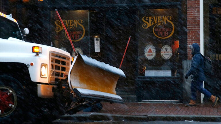
After a pleasant weekend with just a few snow showers, New England is once again facing another significant nor’easter from Monday night through Tuesday. The latest model trends bring the storm closer to the coastline, which means more precipitation and more snowfall.
Related Links
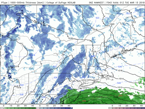
This powerful storm looks like it will significantly intensify during the day on Monday. The storm’s strength and track will determine how much snow we’ll see, but once again, there’s a possibility of power outages and coastal flooding. It’s the third nor’easter in this series and probably the last one for a little while. I don’t want to rule out another storm after this, but the odds start to decrease in the next week or two.
The National Weather Service issued a winter storm watch for eastern and central Massachusetts and into New Hampshire for the possibility of at least 6 inches of snow. The watch will be converted into a warning for areas where it becomes likely that at least 6 inches will fall.

Winter storm watches in effect.
How much snow will we get?
The first flakes fly in less than 48 hours, but the following snowfall totals are based on the current track and could change later Sunday and again Monday. Use these numbers for planning purposes but understand they’re still subject to some movement.

Snowfall predictions for the Boston region.
Assuming the track stays far enough to the east, the strongest winds will remain offshore. If the track continues to move west, then winds could gust over 60 miles per hour on the Cape and islands.
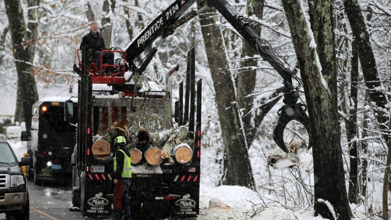
Temperatures are colder, so the snow will not be as heavy and wet as during the last storm. Less snow on trees and wires should limit the number of power outages. That said, many trees already have weakened branches, so it wouldn’t take much wind for them to fall onto power lines and throw people into (or back into) the dark.
Travel will be impacted Tuesday, including air travel to and from Logan Airport. With 48 hours until the storm begins, it might be a good idea to call your airline and see whether you can switch your flight.
The weather clears out on Wednesday when temperatures are chilly, so I don’t expect the snowfall to melt right away.