Winter Watch
❄️ Get winter weather alerts and snow maps, delivered to your inbox.
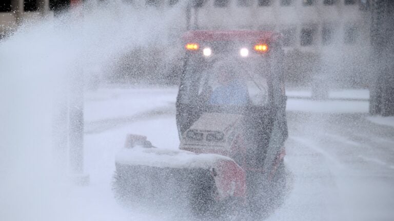
It’s the day after New England’s first significant storm of the season, and if you compare the snowfall prediction maps for Tuesday’s weather event with the actual totals, this was a well-behaved storm — and a well forecast one.
By the time Sunday afternoon rolled around, most meteorologists were aware that this weather system was going to be generally a rainstorm for Greater Boston, with a rain-snow line far to the west across the Interstate 495 belt and points north. Snowfall, according to the forecasts, would be particularly heavy over northern Worcester and Middlesex counties and into Vermont, New Hampshire, and Maine.
Storms are not obviously this well-predicted all the time. You can be assured, there’s going to be a storm this winter with snowfall amounts over or under forecast, and one that begins earlier or later than expected. That’s the weather.
Meteorologists rely heavily on computer-generated models to make their forecasts. But these models must be interpreted; otherwise, a forecaster’s prediction can be way off. As early as Monday morning, some of those weather models were predicting a foot of snow for Boston! If meteorologists had gone with the snowfall maps that the models had put out at the time, they would have really busted the forecast. This is one of the reasons why I won’t show computer-generated snowfall predictions. They are often wildly inaccurate, trying to garner attention and clicks, and they are not very useful to people planning their lives around the weather. I suspect over the next decade or two, as AI continues to infiltrate all of our lives, including meteorologists’, human-added value will decrease and the models will eventually surpass our forecast ability.
Well behaved “storm” yesterday. I know I will mess up a forecast or two this winter, but at least the first one went pretty well. #Snow #Rainsnowline #Coastalstorm https://t.co/9x7k6oMW4Q pic.twitter.com/m2cv0xtMPE
— Dave Epstein (@growingwisdom) December 3, 2025
One of the things that I take into consideration this time of year, before a storm arrives, is the fact that ocean temperatures are still relatively mild — over 10 degrees warmer than they’re going to be in late January and February. These ocean temperatures have a big influence on the type of precipitation Boston sees. Although certainly not impossible, big snowstorms in the first week of December in Boston are not common. Also, the cold air that was in place at the beginning of the storm, while notable for this time of year, was not exceptional.
The models did a very good job of predicting a warm nose of air in the middle layers of the atmosphere, so as snowflakes were being manufactured in the clouds, they would fall into this warm layer in Eastern Massachusetts and melt into raindrops. And then once that happened, the rain never transitioned back to snow. Snow is the result of water vapor depositing on microscopic particles in the clouds that act as nuclei for snowflakes. If it had been colder at the ground, we would have had sleet or freezing rain.
If that warm nose of air had not materialized, we would have had a heavy, wet snowstorm and significant power outages as well. But the models accurately predicted this critical aspect of the storm.
However, one area where the models were off was specifically the temperatures along the coastline. During these coastal storms, there is usually a coastal front, the divide between the marine air and the colder air farther inland. Most of the models were bringing temperatures in the lower 40s to Eastern Massachusetts during Tuesday’s storm, but that never occurred. Logan Airport’s high temperature was 37 degrees.
Cold air is much harder to dislodge than warm air, and this was an aspect of the storm I missed. Even after doing this for four decades, I’m still reminded that it’s virtually impossible to get all of this right, but if all the storms this winter behave this well, I’ll be a happy camper.

❄️ Get winter weather alerts and snow maps, delivered to your inbox.


To comment, please create a screen name in your profile
To comment, please verify your email address
Conversation
This discussion has ended. Please join elsewhere on Boston.com