We won’t escape a bitterly cold weekend, but warmer days are around the corner
Sunshine returns on Sunday, and this will help boost temperatures into the upper 20s but still stay below freezing.
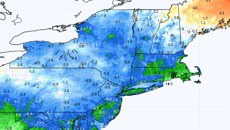
Clouds will likely linger for much of Saturday and temperatures will be cold, staying in the upper teens to maybe near 20 degrees. This is about 10 degrees below average, but nowhere near record cold — that is below zero.
As skies clear Saturday night, readings will go down into the single digits to teens, certainly one of, if not the coldest, night of the winter so far.


Sunshine returns on Sunday, and this will help boost temperatures into the upper 20s but still stay below freezing. This is also the longest stretch below freezing this winter. It began around 5 p.m. on Tuesday and will continue through the entire weekend.
By Monday milder air starts to return as temperatures get above the 32-degree mark by late morning and eventually popping out around 37 or 38. This will begin the melting that’s going to continue for much of the upcoming week.
By the time we get to the end of the week, I suspect most of the snow, besides the bigger piles, will be gone. February can bring more cold and snow and winter is far from over.
WEATHER OUTLOOK
SUNDAY: Sunny, with a high near 26. Windchill values as low as zero. Northwest wind 11 to 14 mph. At night, mostly clear, with a low around 15. Northwest wind 8 to 11 miles per hour.
MONDAY: Mostly sunny, with a high near 38. Southwest wind 8 to 11 miles per hour. At night, mostly cloudy with a low around 30. Southwest wind 15 to 18 miles per hour.
TUESDAY: A chance of rain after 3 p.m. Mostly cloudy, with a high near 41. West wind 9 to 13 miles per hour. Chance of precipitation is 30 percent. At night, snow likely, mainly after 2 a.m. Cloudy, with a low around 31. North wind around 7 miles per hour, becoming east after midnight. Chance of precipitation is 60 percent.
WEDNESDAY: Rain likely, possibly mixed with snow, becoming all rain after 11 a.m. Cloudy, with a high near 40. South wind 7 to 9 miles per hour. Chance of precipitation is 70 percent. Rain likely at night, mainly before 8 p.m. Cloudy, with a low around 34. South wind around 7 miles per hour, becoming west after midnight. Chance of precipitation is 60 percent.


To comment, please create a screen name in your profile
To comment, please verify your email address
Conversation
This discussion has ended. Please join elsewhere on Boston.com