Expect dry, seasonably cold temperatures Christmas weekend
Snow this time of the year is not without precedent, but the ground is more often void of the white stuff as opposed to being able to build a snowman.
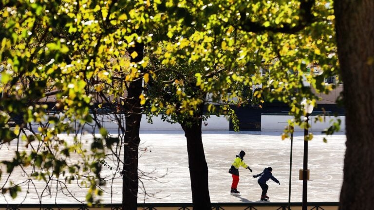
If you stepped outside on Friday, you definitely noticed it felt cold. Temperatures were in the mid-30s in Greater Boston as the sun was getting ready to set on the weekend before Christmas.
We have gained about four minutes of daylight on the back end of the day since Dec. 9. This, of course, is just the beginning of growing light in the coming months.

It’s going to be dry and seasonably cold through the rest of the weekend, with one minor exception — possibly late Saturday night. At that time, a weak weather system will bring a few rain and snow showers west of Boston.
Some of these could possibly hold together as they move eastward. I think it’s unlikely there will be enough precipitation for any salt or sand to be needed inside Route 495, but there is a small possibility that in the hilly terrain of Worcester County and maybe Franklin County a few of the crews will have to go out early Sunday morning.

We obviously know that this is not going to be a white Christmas in most of New England. Snow this time of the year is not without precedent, but the ground is more often void of the white stuff as opposed to being able to build a snowman.
I was curious what the most amount of snow has been on Christmas Eve and Christmas Day, so I took a look at the two-day snowfall totals on record. The last time we had a really significant snowstorm was back in 1961 when 10 inches fell Christmas Eve into Christmas Day.

This year, Christmas Eve (Sunday) will feature a lot of clouds and some glimpses of sun with temperatures getting into the lower 40s. As we transition to Christmas itself, it will be partly sunny and seasonably mild with readings generally in the 40s during the afternoon. Roads will be dry and the weather will not be a factor in traveling.
Looking further out, a warming trend resumes, with temperatures possibly getting into the 50s by the middle of next week, along with potential rainfall. The details on how that storm evolves still need to be determined, but what I don’t see is any snow.

Looking into the first week of January, we need to use multiple model forecasts, called the “ensembles,” to get an idea of the upcoming pattern. The snowfall for the ensembles of the GFS is quite limited through that first week of the new year. This doesn’t mean that we couldn’t still see a big snowstorm as it’s a 16-day forecast, however the trend as of now is just not conducive to snow and cold.


Finally, it’s worth noting on this first full day of astronomical winter that the cold season is our fastest-warming one. Since the 1970s, temperatures have really changed across the country, but here in the Northeast, we have seen the most amount of warming. This is one of the reasons why, as you sit around with your family talking about Christmas past, you may indeed remember them as a lot colder, and you would be correct.


To comment, please create a screen name in your profile
To comment, please verify your email address
Conversation
This discussion has ended. Please join elsewhere on Boston.com