Newsletter Signup
Stay up to date on all the latest news from Boston.com
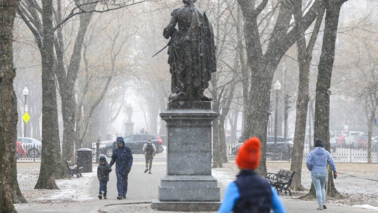
Southern New England is due to receive the first accumulating snowflakes of the winter season this weekend, though snowfall should die down by Monday morning’s commute.
powered by:
Local meteorologists are forecasting a chance of snow showers starting Saturday evening, with little or no snow accumulation expected until Sunday.
“A better chance for accumulating snow comes Sunday evening into early Monday morning where 1-3″ is possible, the most west of 495,” WBZ Meteorologist Lexie O’Connor said on Twitter.
The National Weather Service’s (NWS) Boston bureau tweeted about two chances for accumulating snow this weekend, saying, “…Ocean effect snow showers may produce up to an inch of snow across parts of [eastern Massachusetts] tonight. A better chance for snow begins Sunday PM when most of the [southeastern New England] can expect 1-4” as low pressure slides to our SW.”
The NWS shared a map showing expected snowfall amounts from Sunday afternoon through Monday morning. The greatest amounts of snow are expected across far western Massachusetts and northwest Connecticut, with 3 to 4 inches possible. The central part of the states may get between 1 and 2 inches, while eastern Massachusets and most of Rhode Island will likely see less than an inch. No snow is expected in Cape Cod and the Islands.
The NWS Boston bureau predicts snow will wrap up by early Monday morning, making way for a mostly sunny day with a high near 35. Tuesday and Wednesday will remain clear and sunny, with highs around 37 on both days.
A mix of rain and snow is due Thursday and Friday in eastern Massachusetts, with rain turning to snow across the central and western parts of the state. Thursday’s high will be near 42 and Friday’s high will reach 44.
Looking ahead, AccuWeather forecasts next Saturday will be dry but cloudy and windy, with wind gusts as high as 44 mph and a high of 41. Next Sunday will have plenty of sunshine, with a high of 39.

Stay up to date on all the latest news from Boston.com


To comment, please create a screen name in your profile
To comment, please verify your email address
Conversation
This discussion has ended. Please join elsewhere on Boston.com