Map: Here’s how much snow to expect in Vermont this weekend
Much of the state is expected to see a foot to 18 inches.
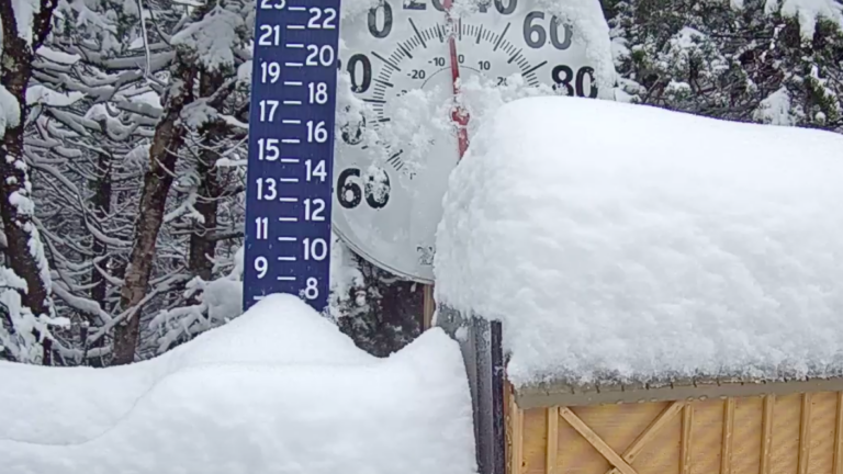
Much of Vermont is predicted to see a foot to 18 inches of snow during this weekend’s storm while some of the southern portion of the state may get 18 inches to 2 feet, according to the National Weather Service in Burlington.
Places like Manchester and Springfield are in that heavier snowfall area while Montpelier, Stow, and Saint Johnsbury fall in the 12- to 18-inch range.
The most northwest areas, like Saint Albans, may see the lightest amount of snow, a predicted 8 to 12 inches.
Snow may cause visibility issues Saturday night into Sunday morning when 1 to 2 inches may drop per hour. The snow is predicted to be “light and fluffy,” which means it may start blowing and drifting on Sunday, service meteorologists said.
Here’s the service’s latest expected snowfall map for the state:
Winter Storm Warnings (pink) and Advisories (purple) now in effect for Saturday afternoon through Sunday afternoon across Vermont and New York. No big changes made to our previous forecast snow totals. pic.twitter.com/yx2Aog0nHM
— NWS Burlington (@NWSBurlington) January 18, 2019
https://twitter.com/NWSBurlington/status/1085996891463172097