The most, least, and likeliest snowfall predictions for tomorrow’s storm
Parts of the state could see more than six inches of accumulation.
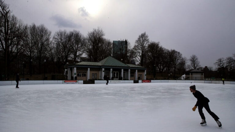
New England residents will have to hold out a bit longer for that long-awaited spring weather thanks to a nor’easter that will drop several inches of snow on parts of the region on Friday.
The National Weather Service is forecasting about five inches for Boston, while other parts of the state north and west of the city could see greater accumulations. The service has issued a Winter Storm Warning for areas north of the Mass. Pike.
As of Thursday afternoon, the forecasters said a lot of uncertainty remains over if and when the snow will turn to a wintry mix Friday. Snowfall is expected to begin Friday morning and continue through Saturday evening, with the precipitation potentially changing to rain for areas south of the Mass. Pike Friday night.
Here are the service’s three scenarios — most, least, and likeliest — for total snow accumulation by 8 p.m. Saturday: