It should also be emphasized #Ian will be a long-duration flooding risk, highlighted by Day 2 & Day 3 excessive rainfall outlook.
Widespread prolonged major & record river flooding expected across C Florida & considerable flooding spreading SE Georgia & coastal South Carolina. pic.twitter.com/fFqNpV4QF2
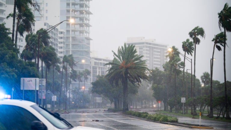
Hurricane #Ian Advisory 23A: Ian Expected to Cause Catastrophic Storm Surge, Winds, and Flooding in the Florida Peninsula Starting Later Today. https://t.co/tW4KeFW0gB
National Hurricane Center Storm Surge Unit: ‘Catastrophic storm surge along with destructive waves from Ian are expected along the southwest Florida coastline from Englewood to Bonita Beach, including Charlotte Harbor’
9/28 7am EDT UPDATE: Catastrophic storm surge along with destructive waves from #Ian are expected along the southwest Florida coastline from Englewood to Bonita Beach, including Charlotte Harbor. Residents should urgently follow evacuation orders from local officials. pic.twitter.com/EQ535FGmhY
National Weather Service Eastern Region: ‘Hurricane Ian has completed its eyewall replacement cycle & has strengthened overnight. Ian is now a Category 4 hurricane with max sustained winds of 155 mph’
Hurricane Ian has completed its eyewall replacement cycle & has strengthened overnight. Ian is now a Category 4 hurricane with max sustained winds of 155 mph & a central pressure of 937 mb/27.67" At 8 am Wed…Ian was located 55 mi W of Naples FL, moving to the NNE at 10 mph. pic.twitter.com/ZrCKAcoOpH
There is often a tornado risk associated with landfalling hurricanes. That will be the story with #Ian today. TORCON OF 4. It’s a 1-10 scale. The higher the number, the higher the chance of a tornado. pic.twitter.com/9NsbxUgECp
Here’s the updated @weatherchannel power outage forecast. In the core area of “”extreme”, power could be out for weeks or months depending on the ability of the power companies to access the locations of the outages. Areas in purple should expect power to be out for days to weeks pic.twitter.com/VEfkbnNp4Z
JUST IN: @NHC_Atlantic is now projecting catastrophic storm surge of 12-18ft from Englewood to Bonita Beach, including Ft Myers, Charlotte Harbor. Water into second story of homes.
HURRICANE #IAN Nearing CAT5 status at 7am with 155mph winds. This will be one of the strongest storms in SW FL history. Landfall expected north of Ft Myers near Port Charlotte early afternoon. Storm surge up to 12ft, damaging winds and flooding up to 24" rain expected #WCVBpic.twitter.com/dexGNw9w3b
*BREAKING* Hurricane #Ian rapidly intensifying… winds now 155mph as the eye gets closer to SW FL. This will be a major, destructive CAT4 hurricane with landfall expected near north of Fort Myers near Port Charlotte by early this afternoon #WCVBpic.twitter.com/orL3FoXgVg


To comment, please create a screen name in your profile
To comment, please verify your email address
Conversation
This discussion has ended. Please join elsewhere on Boston.com