Climate Change Report Could Change Future Alewife Development
It may sound crazy to construct multimillion-dollar developments on a floodplain, but developers in Alewife have been doing it for decades. The release of a climate change report by the city of Cambridge this February, however, could change how this development is done.
It may sound crazy to construct multimillion-dollar developments on a floodplain, but developers in Alewife have been doing it for decades. The release of a climate change report by the city of Cambridge this February, however, could change how this development is done.
Alewife is undergoing a huge building boom, with over 1,000 luxury apartments being constructed in 2014 alone, according to Cambridge’s Community Development Department. This year Alewife has eight developments either proposed or under construction, adding over 2,000 more units.
At the same time, Alewife – and the rest of the U.S. — is experiencing increased precipitation and flooding. According to the Environmental Protection Agency, nine of the top 10 years for intense single-day events of precipitation occurred after 1990. With this sobering data from climate change scientists, how should developers building on floodplains take the necessary precautions?
The Floodplain
Alewife saw significant flooding when a nor’easter hit the Greater Boston area this past November. Jan Devereux, the founder of Fresh Pond Residents Alliance (FPRA), a neighborhood group formed in 2014 in response to Alewife’s rapid development, said many residents’ garages have flooded. “Every nor’easter is a reminder of how vulnerable a low-lying area like Alewife is during a major storm, and climate scientists say it will only get worse. Underground garages at a couple of the newer buildings flooded in December and Alewife Brook Parkway itself was inundated last July,’’ she said.
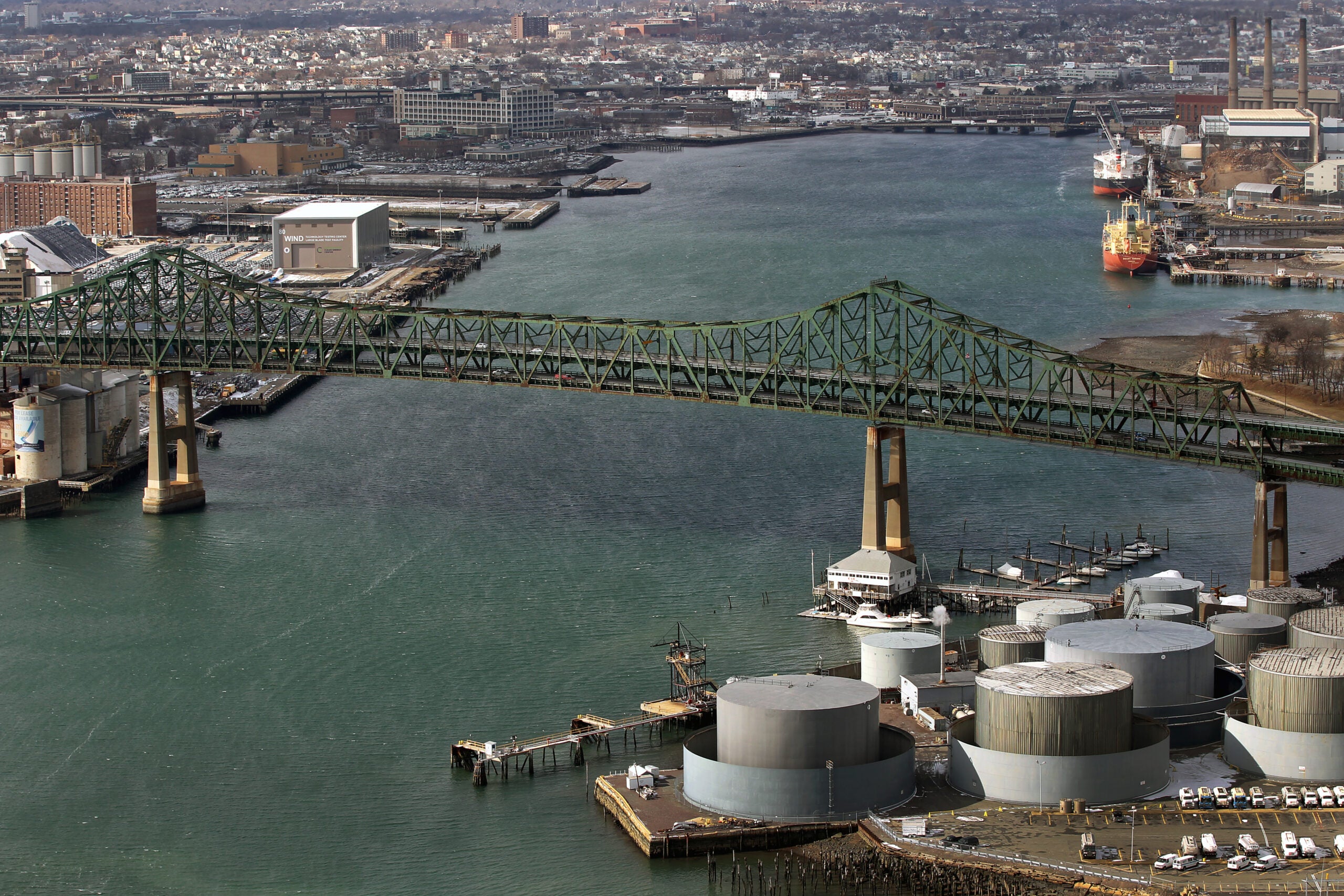
A “floodplain’’ describes any area of land susceptible to inundation by floodwaters, according to Cambridge’s Conservation Commission. The Alewife district, located in Cambridge, Arlington, and Belmont, sits atop several hundred acres of “sensitive ecological marshlands’’ located on a 100-year-floodplain. It is only 5’ above sea level.
The Alewife area falls within the Alewife Brook sub-watershed of the Mystic River Watershed. If the Mystic River dam were overcome in a storm surge, Alewife would flood. The Mystic River watershed is currently undergoing a massive cleanup, but sewer and storm pipes still occasionally overflow, and the water has been contaminated with “pet waste, industrial pollutants, and lawn fertilizer’’ from surrounding areas, according to The Boston Globe.
A 2014 notice from the city’s department of public works said the existing public drainage system can “adequately convey smaller storm events,’’ but for intense rainfalls and larger events, “the system surcharges causing flooding, backups and ponding in various locations throughout the watershed.’’ The EPA’s most recent water quality report card gave Mystic River a “D,’’ so the idea of its contaminated waters overflowing is particularly troubling for Cambridge residents.
Alison Field-Juma, another member of FPRA, said she’s not just worried about Mystic River flooding in a storm. She’s also concerned about Alewife Brook, a sub-watershed in Cambridge, Belmont, and Arlington. “Flooding problems in Cambridge are often not in floodplains, but due to local drainage problems and accumulation of runoff without infiltration,’’ she said.
According to the city of Somerville, which shares stormwater and sanitary systems with Cambridge, this past July there was a “combined sewer overflow’’ (CSO) into Alewife Brook. A CSO occurs when combined sewer systems that collect rainwater runoff, domestic sewage, and industrial wastewater in one pipe fail to transport wastewater to a sewage treatment plant for treatment, but overflow due to heavy rain.
“Discharges from CSOs and from separate stormwater pipes include bacteria and other pathogens, oxygen-demanding pollutants, solids and other contaminants,’’ Somerville’s city website states. Public health officials advise residents to avoid contact with the brook or any other floodwaters for 48 hours after rainstorms.
Mitigating the Impact
Residents like Field-Juma and Devereux want developers to do everything possible to mitigate flooding in their community. But stemming the effects of heavy rainfall can prove quite difficult when permeable ground is replaced with asphalt and concrete, and trees are cut down for parking lots.
Owen O’Riordan, Cambridge’s Commissioner for Public Works said as city officials work to make Cambridge more resilient under climate change conditions, staff has worked closely with developers to modify designs to reduce the likelihood of flooding impacting residents.
Developers already have to jump through a series of hoops in order to get permits, O’Riordan said, including going before the Conservation Commission and the City Engineer with their plan. “They must demonstrate that post-construction conditions for post-storm runoff can be no greater than pre-construction conditions of post-storm runoff,’’ he said.
This means requiring them to provide compensatory storage for any displacement of water retention capacity within the 100-year flood plain, and documentation proving that their encroachment on the floodplain will not result in any increase in flood levels in the event of a 100-year-flood.
The city worked with the McKinnon Company, the developers of 88 CambridgePark Drive, to include elevated electrical equipment and to ensure all residential units were located on the second floor and higher, in accordance with the Federal Emergency Management Agency’s (FEMA) current 100-year and 500-year flood predictions for Alewife.
But are these measures enough to protect residents’ properties and health? Residents – and city officials like O’Riordan admit that it may not be, but the reveal of the Climate Change Vulnerability Assessment next month could re-write the protocol for the city and developers.
“The expectation is that it will change a number of requirements for developers,’’ O’Riordan said. They might have to create additional floodwater storage systems for communities, or construct “more resilient’’ buildings, he added.
Possible Solutions
Building on a floodplain is not unique, and many architecture firms have found ways to mitigate flooding in their designs.
MIT architecture professor Anne Spirn said developers should focus on “holding the rain close to where it floods,’’ either with green roofs (rooftop gardens) or retention basins. This type of infrastructure accommodates water like a natural watershed would, unlike impervious paved surfaces common in cities. Excess floodwater slides right off concrete driveways and asphalt roads and parking lots, instead of seeping slowly into the ground.
“This is not rocket science,’’ Spirn said. She added that many Boston urban architects are incorporating this type of “green infrastructure’’ over the “gray infrastructure’’ of years past. She cited Gary Hilderbrand, a Cambridge-based landscape architect with the landscape architecture firm Reed-Hilderbrand, and professor at the Harvard Graduate School of Design, as someone using green infrastructure well.
Hilderbrand said he always examines the underlying watershed before designing for a new location. When it comes to building flood management infrastructure, Hilderbrand said the key term is “absorption.’’
“We have to capture the water, we have to convey it, we have to infiltrate it and sometimes we have to treat it,’’ he said.
There are a variety of methods to do this, but Hilderbrand said he likes the simplest devices, like gutters or small depressions in walkways or roads that redirect and capture water. He described a small square in Central Wharf that his firm designed. There are 25 trees in it, and the rainfall is “captured in little slots, and 100 percent of the rainwater returns to the roots of the trees.’’ It’s a very scalable idea, he said.
Though the impact of climate change may look bleak, Cambridge citizens still have hope for their communities.
The Alewife area could be developed as a safe and livable community that is resilient to climate disruption, Field-Juma said. “Or, it can be crammed with uncoordinated residential development, with flood hazards, choked by traffic, and with little civic life or engagement, public space, real access to transit, or amenities. To make it the former, the city and residents and developers all need to work together now,’’ Field-Juma said.
The climate change report will be revealed by the city on February 12 at 6 p.m. in the MIT Tang Building E51.


To comment, please create a screen name in your profile
To comment, please verify your email address
Conversation
This discussion has ended. Please join elsewhere on Boston.com