You can now plan your T trips on Apple Maps
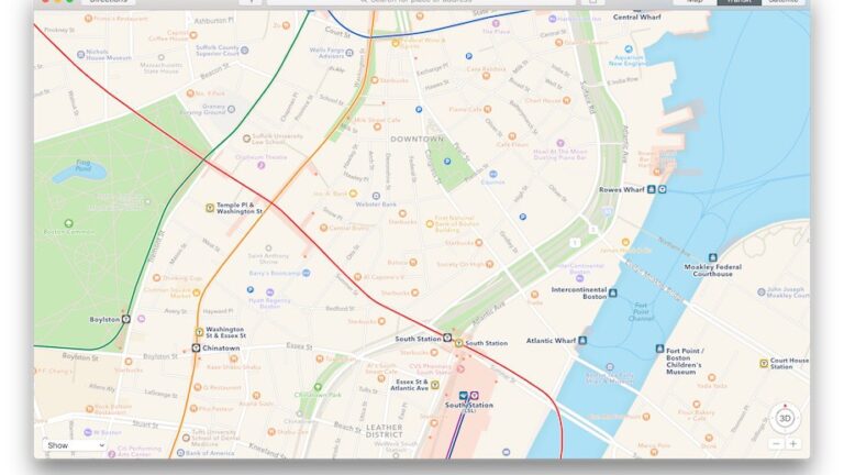
Apple Maps debuted Boston transit options Monday. Users in Boston can now plot their routes on buses, subways, trolleys, and commuter rail trains, according to Beta Boston.
The feature is designed to compete with Google, which has long offered transit directions on its map app.
Apple says the markings on its maps correspond to the signage travelers will see when entering or exiting stations, to help them navigate their way around. For example, the familiar circle T logo of the MBTA is used on markings for the different subway lines, along with their colors.
Beta Boston compared Apple and Google’s mapping of a trip from UMass Boston to the Boston Public Library, and found the two apps offered similar results.
Read the full story on Beta Boston.


To comment, please create a screen name in your profile
To comment, please verify your email address
Conversation
This discussion has ended. Please join elsewhere on Boston.com