Transportation in South Boston Waterfront Becomes New Priority
The Silver Line to the Seaport during rush hour. Groan.
Jamming your car into the stop-and-go on Seaport Boulevard. More groan.
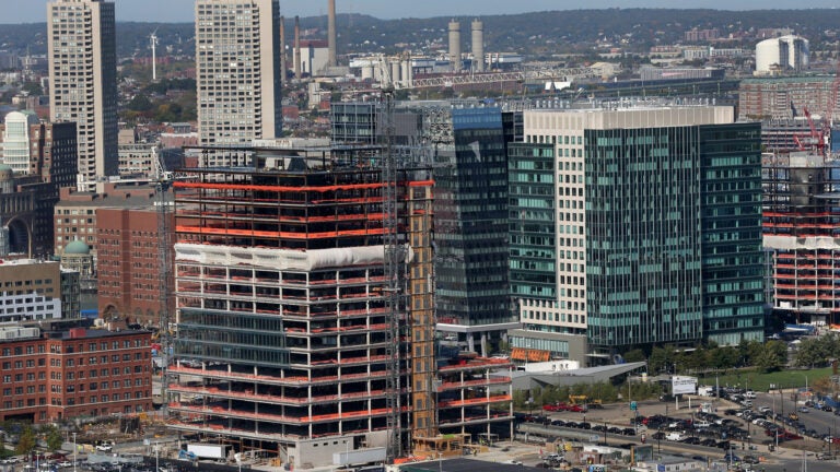
As the South Boston Waterfront expands dramatically in housing, jobs, and attractions, the city is realizing what commuters already know: It’s hard to get around there.
A committee consisting of transportation nonprofit A Better City, the City of Boston, Massport, MassDOT, and Massachusetts Convention Center Authority is creating a new transportation plan for the South Boston Waterfront in order to ease commuter issues in the neighborhood and foster economic growth. They’re also soliciting input from residents and people who work in the area.
According to a report released by the committee, public transportation and roadways in the Seaport are nearing capacity. There are three Silver Line stations and three MBTA bus routes that run through the area, but passenger demand is at or exceeds capacity during peak rush hours.
The report also found Fort Point Channel crossings are at 100 percent capacity during the evening rush hour. On a typical weekday, parking in the neighborhood is at 80 percent capacity. Water transportation exists, but does not operate regularly. There are also limited bicycle and pedestrian accommodations, and public transit stops are not clearly marked.
The committee has held several community meetings this fall to seek input from residents or people who work in the Seaport. The community voted that increasing Silver Line capacity should be the first priority, followed by improved bus connections and increased roadway capacity.
It will hold two more meetings in December.


To comment, please create a screen name in your profile
To comment, please verify your email address
Conversation
This discussion has ended. Please join elsewhere on Boston.com